What is recorded here
Fairy fort / earthen ringfort in Coolroe North: In pasture, on level ground. This rath is not visible at ground level. It is indicated on the 1846 and 1895 OS 6-inch maps as an oval enclosure (c. 60m NE-SW; c. 40m NW-SE). According to the landowner, the rath was defined by a single bank and has a Man-made underground passage (KE057-067001-) in its interior. It was levelled in the 1960s. This is probably the circular rath with 'one fence' which was recorded in Coolroe townland in the 1940s (Schools Manuscript, Co. Kerry). Compiled by: Elizabeth Byrne, Ursula
In pasture, on level ground. This rath is not visible at ground level. It is indicated on the 1846 and 1895 OS 6-inch maps as an oval enclosure (c. 60m NE-SW; c. 40m NW-SE). According to the landowner, the rath was defined by a single bank and has a Man-made underground passage (KE057-067001-) in its interior. It was levelled in the 1960s. This is probably the circular rath with 'one fence' which was recorded in Coolroe townland in the 1940s (Schools Manuscript, Co. Kerry).
Compiled by: Elizabeth Byrne, Ursula Egan and Sheila Ronan, Archaeological Survey Unit, University College, Cork.
Date of upload: 31 January 2011
The monument record does not grant public access. Check the route and ask the landowner before entering private land.
- What survives
- Recorded monument
Places near here
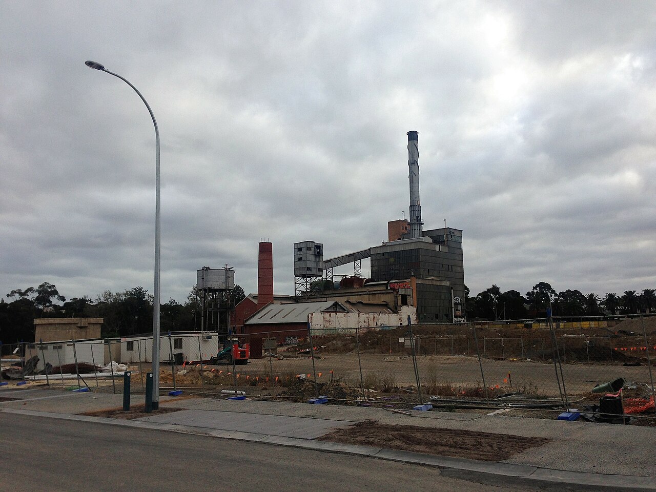 Paper MillMill, paper · 505 yd
 Ballymalis Br.Bridge · 579 yd
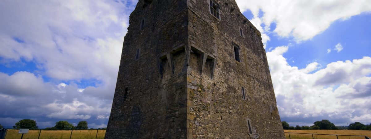 LissareeFairy fort / earthen ringfort · 610 yd
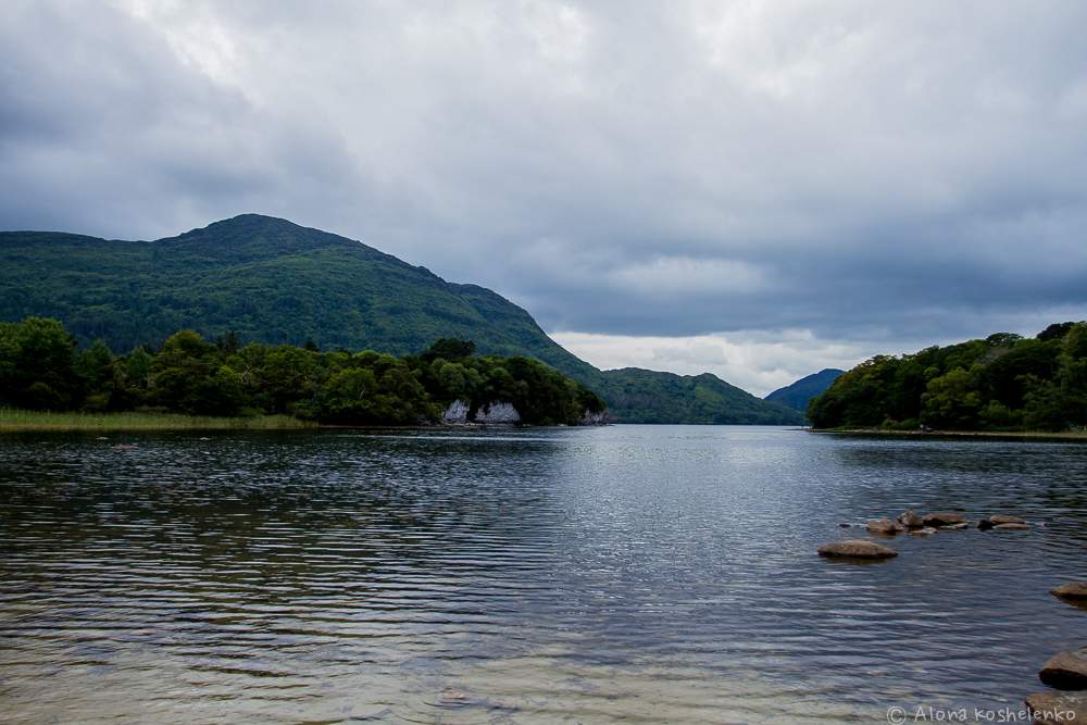 Man-made underground passage in Coolroe NorthMan-made underground passage · 844 yd
 The Kerry Creamery ExperienceHeritage attraction · 1756 yd
 Ballymalis CastleCastle · 1.5 mi
 Ballymalis Castle (in ruins)Castle, tower house · 1.5 mi
 Clash IslandIslet · 3.6 mi
 Cloon IslandIsland · 3.8 mi
 Dunloe Ogham StonesHeritage attraction · 3.8 mi
 Japanese pagoda treeJapanese pagoda tree · 3.9 mi
 European YewEuropean Yew · 3.9 mi