What is recorded here
Coologe holds a faded ring where a roadway now cuts through ancient earth. The surviving half preserves a low bank and shallow ditch, while the other has vanished beneath ploughs and forgetting. People may have lived there before roads were drawn, but the entrance and most of the shape have been lost. What remains is large enough to picture and incomplete enough to keep the place mysterious.
Raised circular area (int. diam. 50.6m) enclosed by a low, much-denuded earthen bank and a fosse. The site is divided into two unequal portions by a roadway and field boundary running NW-SE. The smaller portion, SW of this, has been levelled and there are no surface remains. Original entrance not recognisable.
The above description is derived from the published 'Archaeological Inventory of County Cavan' (Dublin: Stationery Office, 1995). In certain instances the entries have been revised and updated in the light of recent research.
Date of upload/revision: 22 December 2008
The monument record does not grant public access. Check the route and ask the landowner before entering private land.
- What survives
- Recorded monument
Places near here
 ToberlyanHoly well · 895 yd
 Ballyconnell Log CabinsForest · 901 yd
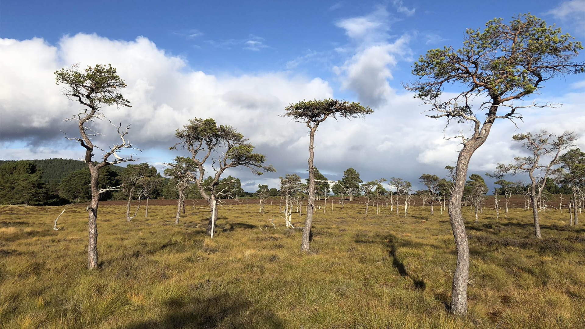 Derrycassan Bog WoodlandWood · 945 yd
 IndicatedHilltop enclosure · 1400 yd
 Saint Patrick's Catholic Churchchurch/chapel · 1.2 mi
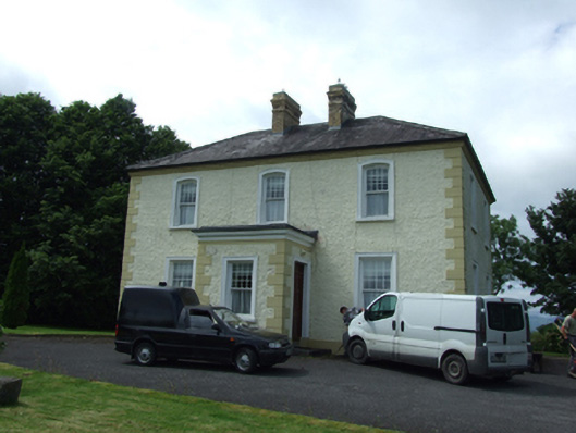 The Presbyterypresbytery/parochial/curate's house · 1.2 mi
 Bellaheady MountainMountain / peak · 1.3 mi
 Killycluggin StoneVisitor information · 1.6 mi
 DerrynigginMountain / peak · 1.7 mi
 Giants GraveArchaeological place · 1.7 mi
 LissanoverCastle, unclassified · 2.0 mi
 CastleCastle, ringwork · 2.2 mi