What is recorded here
Coolnaknockane holds a broken earthen ring where cattle still grind ancient stone to powder. The fort spans thirty-four metres across marshy pasture, its shallow ditch and fading bank surrendering to hooves and rain. Humans may have circled this place before memory, but the land has reclaimed the shape. What remains is a suggestion of structure, soft enough to walk through and forget until darkness returns.
In flat, slightly marshy pasture. Circular area (32m N-S; 34m E-W) enclosed by earthen bank (int. H 0.9m; ext. H 1.35m), with external fosse (D 1.3m; Wth 3m) and counterscarp bank (H 0.25m) NE->ESE; watercourse recently cut along line of fosse ESE->NE. Gap (Wth 4m) in bank at NW much eroded by cattle who have also worn smaller breaks in bank at various points. Level interior under pasture.
Compiled by: Denis Power
Date of upload: 26 August 2011
The monument record does not grant public access. Check the route and ask the landowner before entering private land.
- What survives
- Recorded monument
Places near here
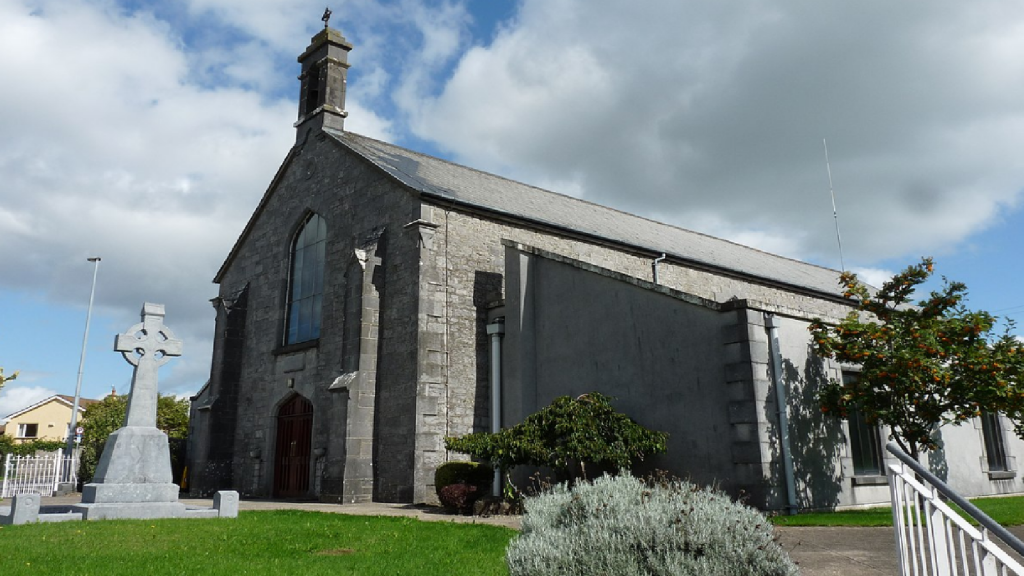 Cloncrew Church (in ruins)Church · 633 yd
 Cloncrew Fort - HachuredFairy fort / earthen ringfort · 642 yd
 Enclosure in Gardenfield EastEnclosure · 813 yd
 ToberacappeenSpring · 1255 yd
 CastleCastle, unclassified · 1307 yd
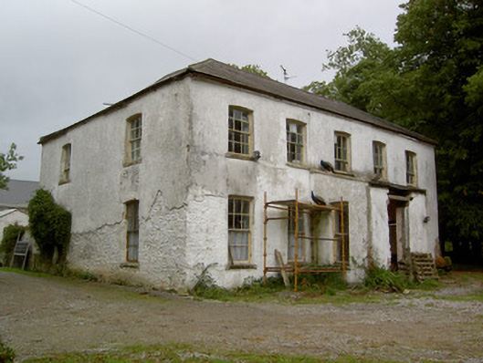 Hardingville Housecountry house · 1.1 mi
 National Co-op MuseumMuseum · 1.7 mi
 Castle (in Ruins)Castle, Anglo-Norman masonry castle · 2.1 mi
 ToberhoranSpring · 2.6 mi
 Battle of LiscarrollMajor battlefield · 7.6 mi
 Mullaghareirk - Banane LoopWalking route · 7.8 mi
 Ballagh MountainMountain / peak · 8.3 mi