What is recorded here
Fairy fort in Coolnahinch, County Longford: an earthen ringfort on a rise above low pasture, marked “Fort” on the 1837 OS map. Now only an irregular scarp, 0.2 to 1.1 m high, curves from west-southwest through west to north, outlining a slightly raised area; the rest has sunk beneath grass and memory. People may have lived, herded or hidden there before the land forgot the shape.
On a rise in low-lying pasture. Depicted as a circular enclosure with the designation 'Fort' on the 1837 ed. of the OS 6-inch map. An irregular scarp (H 0.2m - 1.1m) extends in an arc from WSW-W-N and defines a slightly raised area. The rest of the monument is not visible at ground level.
Compiled by: Patrick F. O'Donovan
Date of upload: 26 August 2011
The monument record does not grant public access. Check the route and ask the landowner before entering private land.
- What survives
- Recorded monument
Places near here
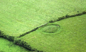 Fairy fort / earthen ringfort in ArdnacassaghFairy fort / earthen ringfort · 411 yd
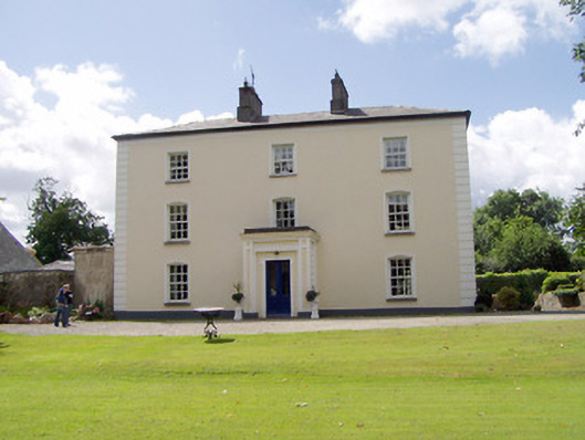 Viewmount Househouse · 654 yd
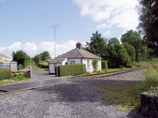 worker's houseworker's house · 988 yd
 Enclosure in Cooleeny,whiterockEnclosure · 1199 yd
 Saint Mel's CathedralCathedral · 1.3 mi
 First World War MemorialMemorial · 1.4 mi
 Bawn in AbbeycartronBawn · 1.6 mi
 CastleCastle, Anglo-Norman masonry castle · 2.0 mi
 Graveyard in Curry (ardagh By., Coolamber Ed)Graveyard · 3.5 mi
 Commons North WalkVisitor information · 10 mi
 Wild birdsVisitor information · 10 mi
 White Sand WoodWood · 10 mi