What is recorded here
Coolnagour holds a broken earthen ring where human hands shaped the slope before memory faded. The bank still rises a metre high along one edge, though grass and fence have swallowed the rest. It is not a fairy tale, but it is a forgotten room: a circle large enough to keep, exclude, or remember.
In pasture, on gentle SW-facing slope. Depicted as hachured circular enclosure (diam. c. 45m) on 1842 OS 6-inch map; hachured as circular raised area (diam. c. 30m), surrounded by second external scarp (diam. c. 45m) topped by field boundary SSE->NW on 1904 and 1936 OS 6-inch maps. Levelled; arc (C 44m) formed by earthen bank (int. H 1m) survives S->N with shallow external fosse (max. D 0.2m). Bank heavily overgrown and incorporated into surrounding field fence system.
The above description is derived from the published 'Archaeological Inventory of County Cork. Volume 4: North Cork' (Dublin: Stationery Office, 2000). In certain instances the entries have been revised and updated in the light of recent research.
Date of upload/revision: 14 January 2009
The monument record does not grant public access. Check the route and ask the landowner before entering private land.
- What survives
- Recorded monument
Places near here
 Concentric enclosure in DoonyConcentric enclosure · 327 yd
 IndicatedHouse, vernacular house · 605 yd
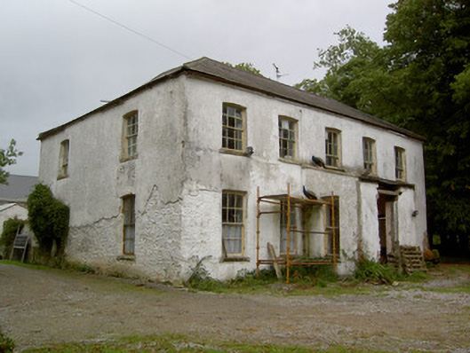 Hardingville Housecountry house · 654 yd
 Burnt mound in Gardenfield SouthBurnt mound · 1214 yd
 National Co-op MuseumMuseum · 1.2 mi
 ToberacappeenSpring · 1.3 mi
 Castle LisheenCastle · 1.4 mi
 Castle (in Ruins)Castle, Anglo-Norman masonry castle · 1.4 mi
 ToberhoranSpring · 3.5 mi
 Battle of LiscarrollMajor battlefield · 6.5 mi
 Mullaghareirk - Banane LoopWalking route · 7.6 mi
 Ballagh MountainMountain / peak · 8.6 mi