What is recorded here
Coolnagour holds a fifty-metre earthen ring where a road now skirts its northern edge. The bank rises barely eighty centimetres above the pasture, yet it still draws the eye because it refuses to vanish. People may have lived inside that shallow oval before the road bent away at the southeast, leaving behind a fence of soil rather than stone. The fairy fort name suggests they saw more than dirt, perhaps a boundary between ordinary land and remembered life.
In level pasture. Depicted as hachured circular enclosure (diam. c. 50m) on 1842 OS 6-inch map; as hachured roughly oval raised area on 1904 and 1936 OS 6-inch maps. Oval area (54.5m E-W; 40.5m N-S) defined by low earthen bank (int. H 0.2m; max. ext. H 0.85m) N->S; low rise elsewhere. Road boundary skirts bank N->ESE, following line of external fosse. At SE, where road bends away from enclosure, external fosse (D 0.3m) survives.
The above description is derived from the published 'Archaeological Inventory of County Cork. Volume 4: North Cork' (Dublin: Stationery Office, 2000). In certain instances the entries have been revised and updated in the light of recent research.
Date of upload/revision: 14 January 2009
The monument record does not grant public access. Check the route and ask the landowner before entering private land.
- What survives
- Recorded monument
Places near here
 Concentric enclosure in DoonyConcentric enclosure · 316 yd
 IndicatedHouse, vernacular house · 726 yd
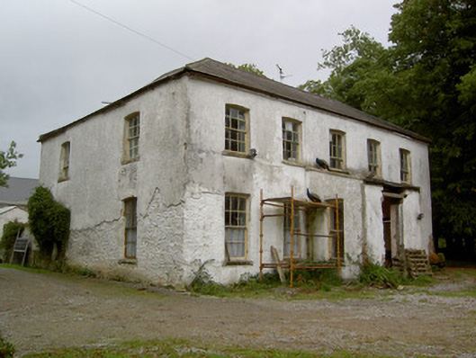 Hardingville Housecountry house · 849 yd
 Burnt mound in Gardenfield SouthBurnt mound · 1163 yd
 National Co-op MuseumMuseum · 1.1 mi
 Castle LisheenCastle · 1.3 mi
 ToberacappeenSpring · 1.3 mi
 CastleCastle, unclassified · 1.4 mi
 ToberhoranSpring · 3.5 mi
 Battle of LiscarrollMajor battlefield · 6.5 mi
 Mullaghareirk - Banane LoopWalking route · 7.5 mi
 Ballagh MountainMountain / peak · 8.6 mi