What is recorded here
Mortals may have built the fort, but the fairies took it over and still meet there when nobody watches. The ring stands forty metres across on a NE-facing slope beside the Owenbaun River, with a causeway entrance and a saucer-shaped interior that slopes downward like a bowl waiting for rain. Cows graze around it now, unaware that the ground beneath their hooves belongs to two kinds of life at once.
In pasture, on NE-facing slope, c. 300m W of Owenbaun River. Circular, raised area (40m N-S; 40m E-W) defined by low earthen bank (max. int. H 1m) ENE->S with intervening fosse and external bank (H 1.2m) all around; outer fosse (D 0.5m) to NW. Entrance to NE with causeway; slight evidence for stone facing at break (Wth 4m) in outer bank. Interior saucer-shaped, generally sloping down to NE.
The above description is derived from the published 'Archaeological Inventory of County Cork. Volume 3: Mid Cork' (Dublin: Stationery Office, 1997). In certain instances the entries have been revised and updated in the light of recent research.
Date of upload/revision: 14 January 2009
The monument record does not grant public access. Check the route and ask the landowner before entering private land.
- What survives
- Recorded monument
Places near here
 BarrowBarrow, ring-barrow · 740 yd
 IndicatedKiln, lime · 1171 yd
 Man-made underground passageMan-made underground passage · 1247 yd
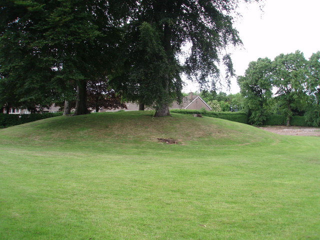 TumulusKiln, lime · 1279 yd
 Castle and TurretCastle, tower house · 1.9 mi
 Rathcool WoodWood · 2.2 mi
 Millstreet Tourist InformationVisitor information · 2.4 mi
 St. Patrick's ChurchVisitor information · 2.4 mi
 Blackwater (Duhallow) WayWalking route · 2.4 mi
 Millstreet Museum & Tourist Information CentreMuseum · 2.5 mi
 RowanRowan · 2.7 mi
 Dromsicane Castle (in Ruins)Bawn · 2.7 mi