What is recorded here
Clearance stones dumped against the outer bank of the Coolkisha ringfort, yet a hidden passage still breathes beneath the grass. The fort is not dead, only waiting for someone foolish enough to stop trusting what they see.
In pasture. Roughly circular area (diam. 31m) enclosed by earthen bank (H 2m) with traces of shallow external fosse. Field clearance stones dumped against outer bank face. Field boundary skirts enclosure to N. Possible Man-made underground passage (CO071-029002-) in interior.
The above description is derived from the published 'Archaeological Inventory of County Cork. Volume 3: Mid Cork' (Dublin: Stationery Office, 1997). In certain instances the entries have been revised and updated in the light of recent research.
Date of upload/revision: 14 January 2009
The monument record does not grant public access. Check the route and ask the landowner before entering private land.
- What survives
- Recorded monument
Places near here
 CairnCairn, radial-stone cairn · 697 yd
 Black WoodWood · 742 yd
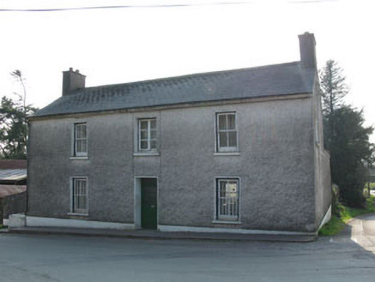 garda station/constabulary barracksgarda station/constabulary barracks · 961 yd
 KilnKiln, lime · 979 yd
 Enclosure in Rusheen (muskerry East By.)Enclosure · 1078 yd
 Ummera WoodWood · 1.8 mi
 BurrenMountain / peak · 2.4 mi
 Carrigadrohid Castle InfoVisitor information · 2.4 mi
 Carrigadrohid CastleHeritage attraction · 2.5 mi
 Carrigadrohid Castle (in Ruins)Castle, tower house · 2.5 mi
 Mullinhassig WaterfallWaterfall · 2.5 mi
 Mashanaglass Castle (in Ruins)Castle, tower house · 2.9 mi