What is recorded here
Fairy forts are no such thing. They are ringforts, human-built defences from centuries ago, misnamed by folklore. Coolkisha had one: an oval rampart broad enough to walk inside, now flattened into pasture. The fairies took the credit only because people stopped remembering the hands that built it.
In pasture. Depicted as hachured circular area (diam c. 35m) on 1842 OS 6-inch map. Levelled; undulations mark area of site. According to Hartnett (1939, 99), surface indications showed that this was a single-ramparted oval fort (diam. 100ft N-S; 90ft E-W).
The above description is derived from the published 'Archaeological Inventory of County Cork. Volume 3: Mid Cork' (Dublin: Stationery Office, 1997). In certain instances the entries have been revised and updated in the light of recent research.
Date of upload/revision: 14 January 2009
The monument record does not grant public access. Check the route and ask the landowner before entering private land.
- What survives
- Recorded monument
Places near here
 CairnCairn, radial-stone cairn · 677 yd
 Black WoodWood · 726 yd
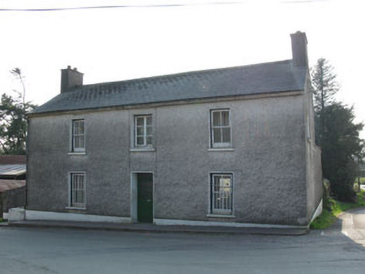 garda station/constabulary barracksgarda station/constabulary barracks · 760 yd
 IndicatedChurch · 833 yd
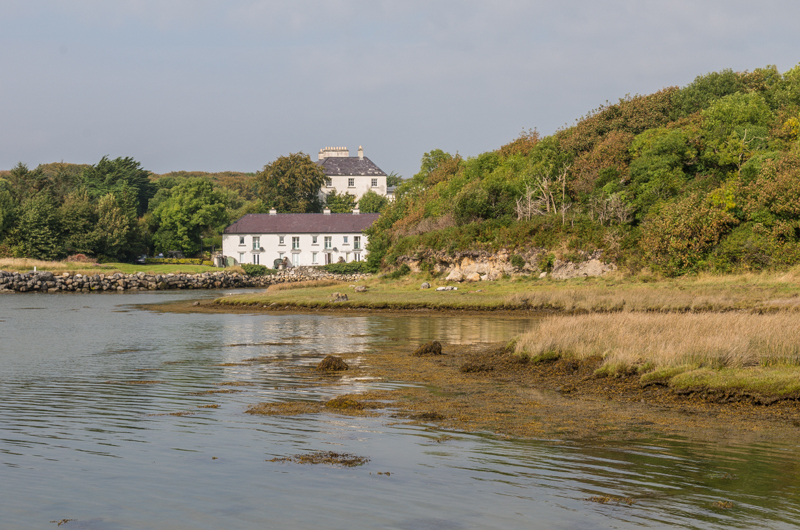 Enclosure in Rusheen (muskerry East By.)Enclosure · 978 yd
 Ummera WoodWood · 1.8 mi
 BurrenMountain / peak · 2.3 mi
 Carrigadrohid Castle InfoVisitor information · 2.5 mi
 Carrigadrohid CastleHeritage attraction · 2.6 mi
 Carrigadrohid Castle (in Ruins)Castle, tower house · 2.6 mi
 Mullinhassig WaterfallWaterfall · 2.6 mi
 Clonavrick CliffCliff · 2.8 mi