What is recorded here
Coolelan hides a circular fort on a gentle pasture slope, visible only when viewed from above because later fields cut through its north-east edge. The earth swallowed the ridge, yet the shape survived beneath grass and shadow. People may have lived there before forgetting, leaving behind a boundary line and a ghost of a wall.
Visible on an aerial photograph (GSI N 442-3) as the cropmark of a circular area truncated at NE by a later field boundary. At the top of a gentle SSW-facing pasture slope. The monument is not visible at ground level, but its siting suggests a possible rath site.
Compiled by: Gearóid Conroy
Date of upload: 10 June 2011
The monument record does not grant public access. Check the route and ask the landowner before entering private land.
- What survives
- Recorded monument
Places near here
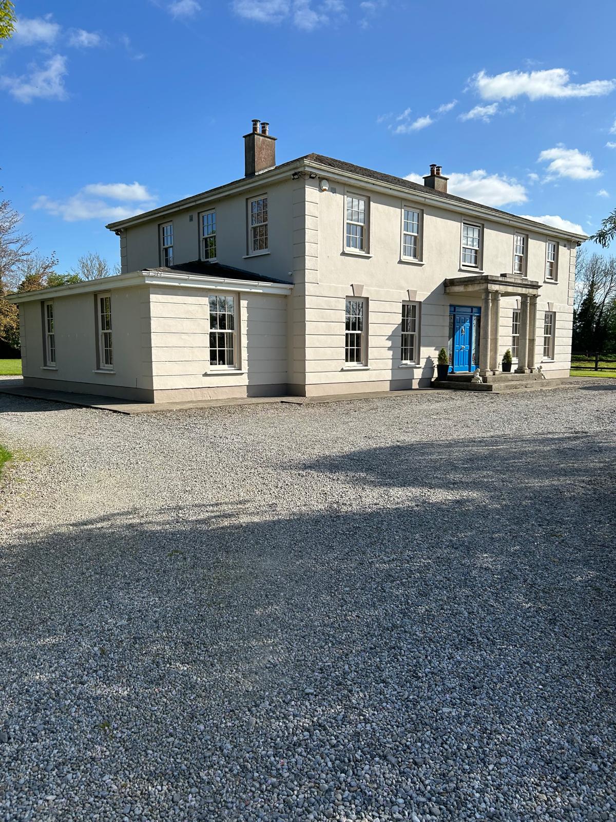 Enclosure in Ballysooghan NorthEnclosure · 1151 yd
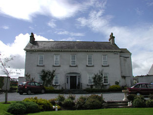 Blakefield Househouse · 1281 yd
 farm housefarm house · 1332 yd
 IndicatedEnclosure · 1.4 mi
 Killinthomas Wood (Rathangan)Wood · 2.0 mi
 Community OrchardNature reserve · 2.1 mi
 Sli na Slainte - mapVisitor information · 2.2 mi
 Site of CastleCastle, tower house · 2.3 mi
 Bithia Mary CrokerMemorial · 2.4 mi
 Offaly CastleCastle, tower house · 2.6 mi
 The Fairy BowerHeritage attraction · 4.7 mi
 Lullymore Heritage ParkHeritage attraction · 4.8 mi