What is recorded here
Fairy forts are local story, not proven fact. A human ringfort is clear: a circular earth bank about thirty metres across, built on a steep northern slope in Cooleenagow. People shaped that land for a dwelling, a boundary or a small defence, then left the bank to swallow itself in grass and time.
In pasture, on break in steep N-facing slope. Circular area enclosed by heavily overgrown earthen bank. Bank highest to N, where incorporated into field fence system. Approximate diam. 30m.
The above description is derived from the published 'Archaeological Inventory of County Cork. Volume 1: West Cork' (Dublin: Stationery Office, 1992). In certain instances the entries have been revised and updated in the light of recent research.
Date of upload/revision: 14 January 2009
The monument record does not grant public access. Check the route and ask the landowner before entering private land.
- What survives
- Recorded monument
Places near here
 CairnCairn, radial-stone cairn · 465 yd
 Burial ground in DromerkBurial ground · 1.4 mi
 OCrowleys Castle (in Ruins)Castle, tower house · 1.5 mi
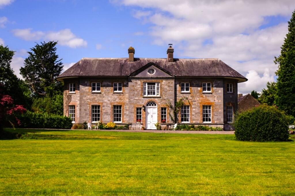 Country house in ArdcahanCountry house · 1.5 mi
 Fanlobbur Church (in Ruins)Church · 2.0 mi
 Castle RockNamed rock · 2.2 mi
 Irish National Forestry FoundationNature reserve · 2.5 mi
 Funmanway Adventure LandHeritage attraction · 3.0 mi
 Mount GunneryMountain / peak · 3.1 mi
 Graveyard in Dunmanway NorthGraveyard · 3.2 mi
 Ballynacarriga CastleCastle, tower house · 3.4 mi
 Dunmanway Heritage CentreVisitor information · 3.6 mi