What is recorded here
Fairy fort / earthen ringfort in Coolderry (Glenkeen parish) is a fairy fort or earthen ringfort in Coolderry (Glenkeen parish), County Tipperary, Ireland. It occupies an oval area 41.5 metres north to south and 23 metres east to west on the northeast-facing slope of a hill. The enclosure contains a stone wall crossing the northern section from the inner bank to the fosse, while the western outer bank has been levelled but the fosse remains intact.
Situated on the NE-facing slope of a hill, surrounded by meadow. An oval-shaped area (diam. 41.5m N-S; 23m E-W) enclosed by an earthen bank (Wth 2.4m; int. H 1.15m; ext. H 1.65m), a U-shaped fosse (Wth 4m; D 0.6m) and outer bank (Wth 1.4m; ext. H 0.8m). The N portion is transected by a stone wall extending E-W from the inner bank at W to the fosse at E. The W portion of the outer bank has been levelled, though the fosse is still intact. The interior is heavily overgrown with ferns and the inner bank is covered in scrub and whitethorn bushes. A small amount of quarrying has taken place in the external SW quadrant up to the outer edge of the inner bank.
The above description is derived from 'The Archaeological Inventory of County Tipperary. Vol. 1 - North Tipperary' compiled by Jean Farrelly and Caimin O'Brien (Dublin: Stationery Office, 2002). In certain instances the entries have been revised and updated in the light of recent research.
Date of upload/revision: 22 September 2008
The monument record does not grant public access. Check the route and ask the landowner before entering private land.
- What survives
- Recorded monument
Places near here
 Castle (in Ruins)Bawn · 1234 yd
 Pallas Bridgebridge · 1315 yd
 Kileroe Millmill (water) · 1350 yd
 Killanna Church (Site of), Grave Yd.Church · 1552 yd
 Killanna WellHoly well · 1605 yd
 Pallas HillMountain / peak · 1.1 mi
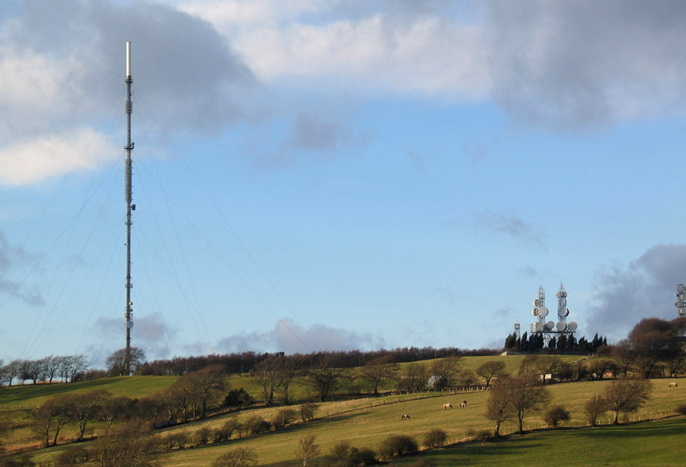 Bawn in AnnfieldBawn · 1.2 mi
 KnockaneMountain / peak · 1.6 mi
 Kilvilcorris BogForest · 3.8 mi
 Cormackstown Heritage CentreMuseum · 5.3 mi
 Killavalla WoodForest · 7.2 mi
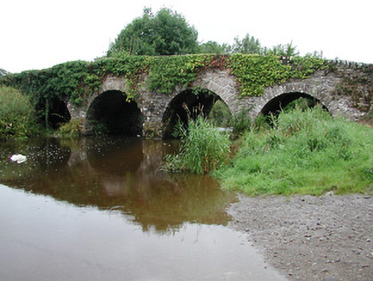 Annfield Bridgebridge · 1.1 mi