What is recorded here
No visible wall remains at Coolcorcoran, yet a 1971 aerial photograph revealed a circular enclosure about twenty metres across beside the cemetery. The disappeared rath may have stood there long enough to shape the land before pasture and forgetting erased it from ordinary sight.
In level pasture, to the E of a cemetery. This possible rath is not visible at ground level. The cropmark of a circular enclosure (diam. c. 20m), with a possible external fosse N-E, is visible in an aerial photograph (CUCAP, BGK 2) taken in 1971.
Compiled by: Elizabeth Byrne, Ursula Egan and Sheila Ronan, Archaeological Survey Unit, University College, Cork.
Date of upload: 31 January 2011
The monument record does not grant public access. Check the route and ask the landowner before entering private land.
- What survives
- Recorded monument
Places near here
 Coolcorcoran BridgeBridge · 344 yd
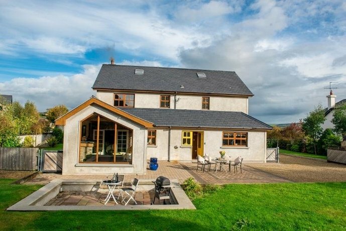 Coolgarriv HouseCountry house · 1006 yd
 Enclosure in BallydribbeenEnclosure · 1027 yd
 Field boundary in Deerpark (magunihy By.)Field boundary · 1115 yd
 Famine MemorialMemorial · 1501 yd
 GinkgoGinkgo · 1.0 mi
 Kerry 2nd Brigade of the Irish Republican ArmyMemorial · 1.1 mi
 Giant SequoiaGiant Sequoia · 1.3 mi
 Jaunting ToursHeritage attraction · 1.4 mi
 Circular WalkWalking route · 1.5 mi
 Aghadoe Early Medieval Ecclesiastical SiteHeritage attraction · 2.0 mi
 River WalkWalking route · 2.0 mi