What is recorded here
Fairy forts are human making, often misread as magical because they appear suddenly complete and resist ordinary explanation. This is a ringfort in Coolcair, County Monaghan, an earthen circle with a bank, ditch and entrance cut into a drumlin ridge. It is not a fairy creation, though it may have felt like one to people who found it already shaped, already bounded and waiting to be understood.
Located at the SE end of a NW-SE drumlin ridge. This rath is depicted on McCrea’s map of County Monaghan (1793) and on subsequent OS 6-inch maps. It is a subcircular grass and scrub-covered area (dims 35m NW-SE; 29m NE-SW) that slopes down slightly to the SE (H 1.2m) defined by an earthen bank (Wth 5.2-7.8m; int. H 0.8m at SE to 2m at NW; ext. H 2.7-2.8m) with an outer fosse (at NW: Wth of top 6.4m; Wth of base 2m; ext. D 1.5m) that declines in magnitude to the SE. There is a wide gap (Wth of base 4.7m) at SE which has been widened but it might be the original entrance. The rath is now overgrown (OSAP 2005)
The above description is derived from the published 'Archaeological Inventory of County Monaghan' (Dublin: Stationery Office, 1986). In certain instances the entries have been revised and updated in the light of recent research.
Date of revision: 6 December 2017
A fairy fort or earthen ringfort in Coolcair, likely dating to the early medieval period, is situated at the SE end of a drumlin ridge and has been mapped since 1793. Local tradition associates such sites with fairy lore, often regarded as dwellings of the "good people" or portals to the Otherworld.
The monument record does not grant public access. Check the route and ask the landowner before entering private land.
- What survives
- Recorded monument
Places near here
 Enclosure in Lisnamoyle EtraEnclosure · 363 yd
 Mass-rock in Lisnamoyle OtraMass-rock · 1183 yd
 Old Church (ruin)Church · 1.3 mi
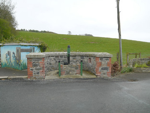 water pumpwater pump · 1.4 mi
 Mannan Castle (in ruins)Castle, Anglo-Norman masonry castle · 1.9 mi
 KnockreaghMountain / peak · 2.1 mi
 TobernagalliaghSpring · 2.3 mi
 Fincarn HillMountain / peak · 3.8 mi
 Horse-chestnutHorse-chestnut · 4.4 mi
 Whites IslandIslet · 4.6 mi
 Gully IslandIslet · 4.9 mi
 Battle of Newry Roadbattle · 4.9 mi