What is recorded here
Fairy fort / earthen ringfort in Coolatober is a fairy fort or earthen ringfort in Coolatober, County Roscommon, Ireland. Gannon described a 32m circular area defined by an earth and stone bank in 1972, though the feature is no longer visible in pasture. The 1915 Ordnance Survey map marked a 40m circular enclosure on the bottom of a west-facing slope.
Marked as a circular enclosure (ext. diam. c. 40m) only on the 1915 ed. of the OS 6-inch map, and situated on a gently undulating landscape towards the bottom of a W-facing slope. It has been described as a circular area (diam. 32m) defined by an earth and stone bank (Gannon 1972), but this is no longer visible in pasture.
Compiled by: Michael Moore
Date of upload: 24 August 2010
The monument record does not grant public access. Check the route and ask the landowner before entering private land.
- What survives
- Recorded monument
Places near here
 LiscreevaghFairy fort / earthen ringfort · 909 yd
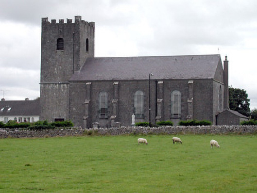 Saint Joseph's Catholic Churchchurch/chapel · 1170 yd
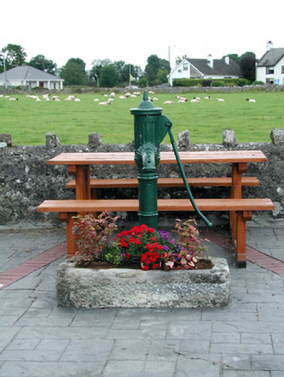 water pumpwater pump · 1209 yd
 LissaphucaFairy fort / earthen ringfort · 1596 yd
 Inch IslandIsland · 1.4 mi
 CastleCastle, unclassified · 3.2 mi
 Inchnaveague IslandIslet · 3.2 mi
 Tower (in Ruins)Castle, tower house · 4.4 mi
 Aughrane WoodsForest · 5.4 mi
 LismoneyForest · 5.6 mi
 Sheep HillMountain / peak · 5.9 mi
 Mount MaryMountain / peak · 8.4 mi