What is recorded here
Fairy forts are not fairy forts. They are human ringforts, circular and old. The fort in Coolard was recorded on maps in 1841 and again in 1939, then destroyed in 1977 for drainage. What is lost is not mysterious; it is a warning about how quickly the ordinary can be erased.
This circular enclosure is marked on the 1841-42 and 1939 OS maps; however, it was destroyed in 1977-78 to make way for drainage schemes.
The above description is derived from C. Toal, ‘North Kerry Archaeological Survey’. Dingle. Brandon in association with FAS Training and Employment Authority (1995), no. 393. In certain instances the entries have been revised and updated in the light of recent research.
Date of upload: 2 August 2013
This remains an important historical record, but the official description says the monument is no longer visible or has been destroyed. The monument record does not grant public access. Check the route and ask the landowner before entering private land.
- What survives
- No visible remains or recorded as destroyed
Places near here
 Bawn in GlouriaBawn · 799 yd
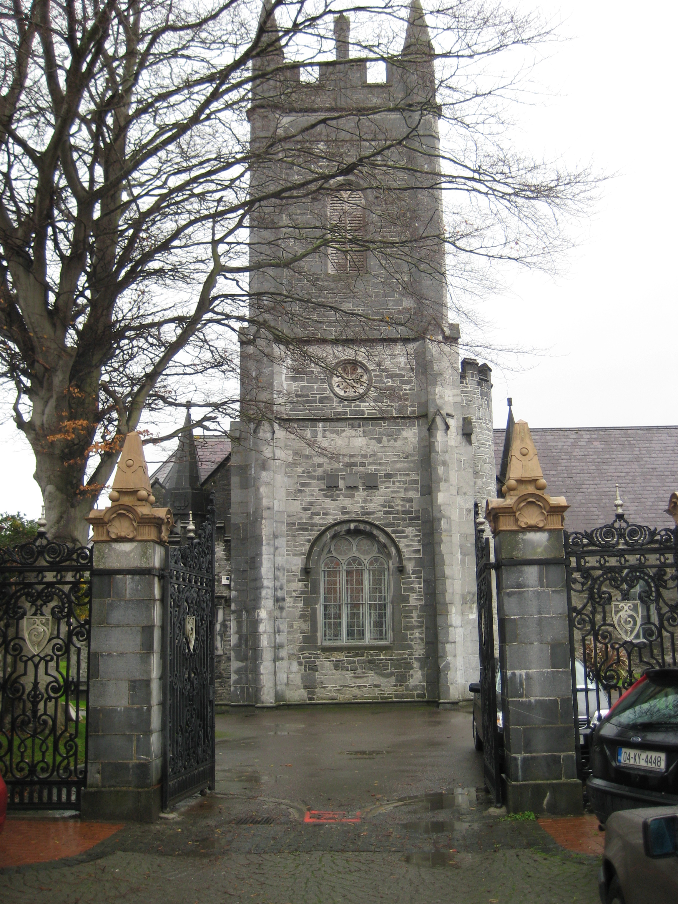 Galey Church (in ruins)Church · 1169 yd
 Saint Teresa's Catholic Churchchurch/chapel · 1520 yd
 LismoyleArchaeological place · 1554 yd
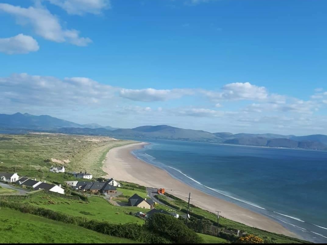 Enclosure in Inch East (iraghticonnor By.)Enclosure · 1682 yd
 Bawn in BallydonohoeBawn · 1.1 mi
 Lartigue MonorailMuseum · 3.2 mi
 John B. Keane GroveMemorial · 3.3 mi
 Kerry Writers' MuseumMuseum · 3.6 mi
 Bryan MacMahonMemorial · 3.6 mi
 KnockanoreMountain / peak · 3.9 mi
 Men's BeachBeach / strand · 5.9 mi