What is recorded here
Fairy forts are earthen rings, not magical palaces, and Coolaleen is no exception. Its double bank and ditch still mark a small defended home, though farm tracks have cut through the walls and grass has swallowed the edges. The fairies belong to legend, not architecture.
In level pasture, c. 25m from bank of stream. Circular area (34.2m N-S; 31.3m E-W) enclosed two concentric earthen banks with intervening (Wth 1.9m) and external fosse (D 0.4m; Wth 1.9m). Inner bank (int. H 0.2m; ext. H 0.7m) is cut by farm passage (Wth 4.8m) at SE and NW; this also cuts outer bank (int. H 0.4m; ext. H 0.8m) at SE. This meets another farm passage which truncates outer bank SW->NW. A similar passage skirts enclosure at NE. Enclosing element, especially intervening fosse and outer bank, are covered by overgrowth. Level interior under pasture.
Compiled by: Denis Power
Date of upload: 26 August 2011
The monument record does not grant public access. Check the route and ask the landowner before entering private land.
- What survives
- Recorded monument
Places near here
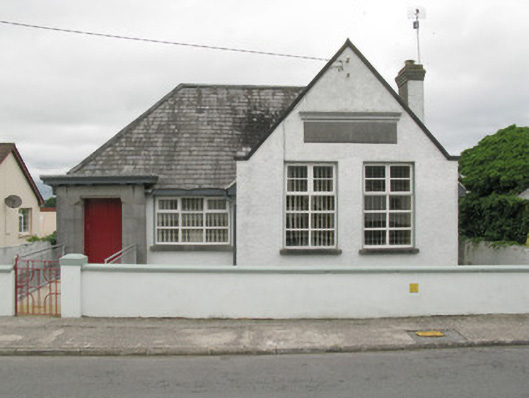 Broadford Carnegie Librarylibrary/archive · 840 yd
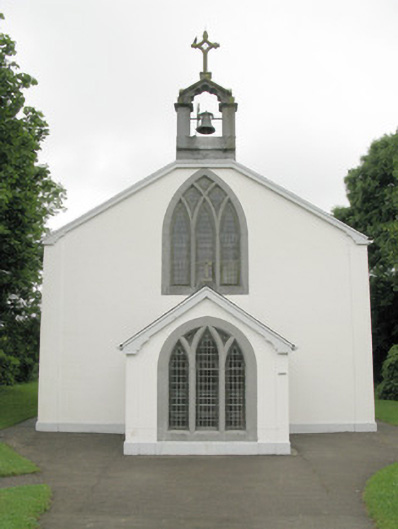 Catholic Church of Our Lady of Sorrowschurch/chapel · 1026 yd
 BarrowBarrow, ring-barrow · 1.1 mi
 Mound in Killeen (glenquin By.)Mound · 1.1 mi
 Castle (in ruins), Springfield CastleCastle, tower house · 1.3 mi
 Glenduff CastleCastle, tower house · 1.7 mi
 ToberhoranSpring · 3.2 mi
 National Co-op MuseumMuseum · 3.4 mi
 ToberacappeenSpring · 3.7 mi
 Mullaghareirk - Banane LoopWalking route · 3.8 mi
 Ballagh MountainMountain / peak · 4.1 mi
 Rock HillMountain / peak · 6.0 mi