What is recorded here
Fairy fort in Coolaha, County Monaghan: a circular rath about forty metres across, hidden beneath pasture but still marked in aerial images. Kieran Campbell’s test trench exposed a broad ditch, an earthen bank with stone facing, and a shallow outer cut. The site may have been a boundary marker, a ritual circle, or a forgotten dwelling, yet its shape remains legible in the land.
Situated on a level area in an undulating landscape. A circular enclosure (diam. c. 40m) defined by a single fosse feature is visible on aerial photograph (CUCAP: BDQ 58) from the 1970s. No archaeological feature is visible at ground level in pasture. The cropmark can also be seen on the OSI aerial images (1995). Archaeological testing (11E0414) by Kieran Campbell exposed part of the enclosing ditch (Wth of top 1.6-1.8m) at N and S (dim 72m NNW-SSE; c. 52m E-W) while the perimeter was an earthen bank (Wth c. 3.5m) with an internal stone-facing and a slight outer ditch (Wth of top 1.7m; D 0.15m) at E. See excavations.ie (2011: 504). (Campbell 2012)
Compiled by: Michael Moore
Date of revised upload: 31 July 2017
Amended: 17 January 2020
The monument record does not grant public access. Check the route and ask the landowner before entering private land.
- What survives
- Recorded monument
Places near here
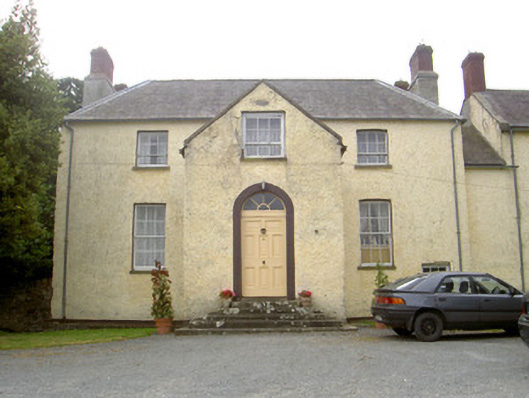 The Gleberectory/glebe/vicarage/curate's house · 1006 yd
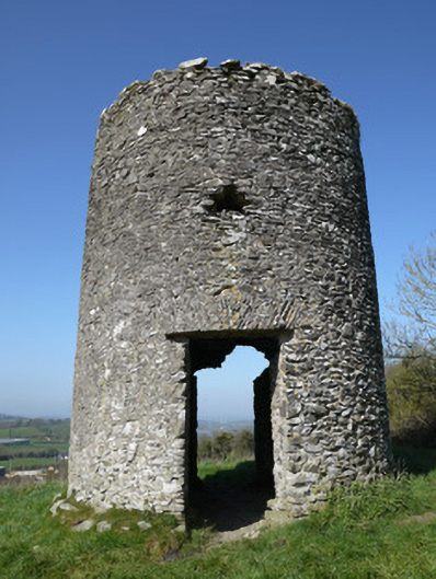 mill (wind)mill (wind) · 1079 yd
 Man-made underground passage in DuneltyMan-made underground passage · 1.1 mi
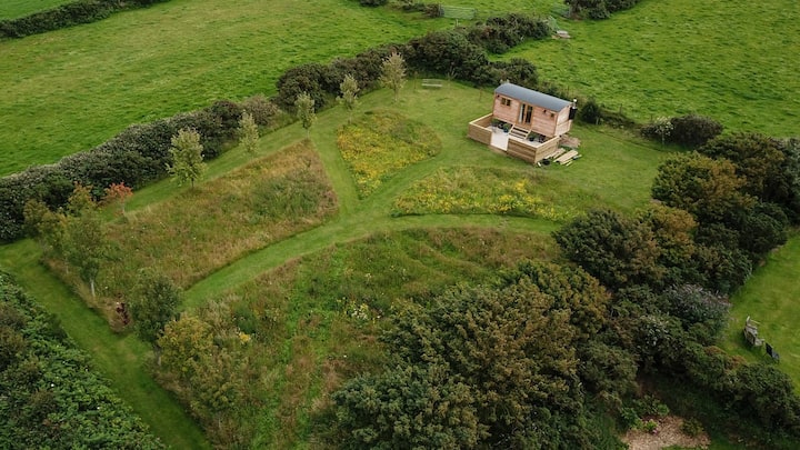 Hut site in DuneltyHut site · 1.1 mi
 CastleCastle, motte and bailey · 1.3 mi
 Flat cemetery in AnnaheanFlat cemetery · 3.2 mi
 Horse-chestnutHorse-chestnut · 3.3 mi
 Mannan Castle (in ruins)Castle, Anglo-Norman masonry castle · 3.4 mi
 European BeechEuropean Beech · 3.4 mi
 TobernagalliaghSpring · 4.7 mi
:no_upscale()/cdn.vox-cdn.com/uploads/chorus_asset/file/25593391/County_Louth_6th.jpg) LouthMountain / peak · 5.1 mi
LouthMountain / peak · 5.1 mi BarleyhillMountain / peak · 6.0 mi