What is recorded here
Coolaboy held a substantial oval fort, wide enough for houses and herds, before farmhands erased it. It vanished beneath pasture and forgotten labour, leaving no stone or ridge behind. The land absorbed the structure while memory abandoned it, proving that forgetting is the final builder.
On low-lying pasture. Extensive farmyard complex adjacent to S. Monument, depicted as oval enclosure (diam. c. 25m SW-NE; c. 20m SE-NW) on 1901 OS 6-inch map, has been levelled. No trace of monument evident when inspected. Surrounding field boundaries have also been removed creating large open field.
Compiled by: Denis Power
Date of upload: 26 August 2011
The monument record does not grant public access. Check the route and ask the landowner before entering private land.
- What survives
- Recorded monument
Places near here
 Enclosure in BallinlongigEnclosure · 964 yd
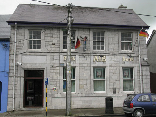 Allied Irish Bankbank/financial institution · 1246 yd
 DromcolliherSettlement cluster · 1249 yd
 ToberacappeenSpring · 1314 yd
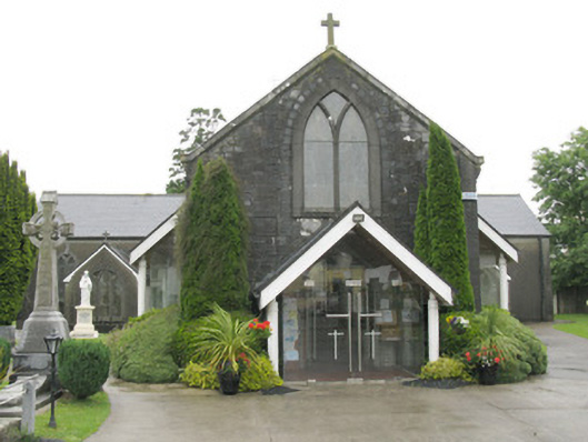 Saint Bartholomew's Catholic Churchchurch/chapel · 1319 yd
 CastleCastle, unclassified · 1321 yd
 National Co-op MuseumMuseum · 1356 yd
 Castle (in ruins), Springfield CastleCastle, tower house · 1.8 mi
 ToberhoranSpring · 2.3 mi
 Mullaghareirk - Banane LoopWalking route · 6.4 mi
 Ballagh MountainMountain / peak · 7.1 mi
 Battle of LiscarrollMajor battlefield · 7.7 mi