What is recorded here
Fairy fort / earthen ringfort in Cool Beg, County Donegal, Ireland, is a D-shaped enclosure, 40m by 20m across the inside, holding a small central rise and depression while its earthen banks and fosse stand at the cliff edge above the sea. Cattle may have grazed the good pasture around it for centuries, trusting the ridge and valley to keep the place marked rather than explained.
Internal diam. 40m × 20m. A D-shaped area enclosed by an earthen bank, a fosse and an outer bank, parts of which are overgrown. To the NE within the enclosure there appears to be a slight platform-like rise with a depression at its centre. It is situated on a cliff edge overlooking the sea to the NW in good pasture land. To the SE is a valley which rises to the cliff face.
The above description was derived from the 'Archaeological Survey of County Donegal. A description of the field antiquities of the County from the Mesolithic Period to the 17th century.' Compiled by: Brian Lacey with Eamon Cody, Claire Cotter, Judy Cuppage, Noel Dunne, Vincent Hurley, Celie O'Rahilly, Paul Walsh and Seán Ó Nualláin (Lifford: Donegal County Council, 1983). In certain instances the entries have been revised and updated.
Date of upload: 22 September 2008
The monument record does not grant public access. Check the route and ask the landowner before entering private land.
- What survives
- Recorded monument
Places near here
 Coolmore Cliff Househouse · 304 yd
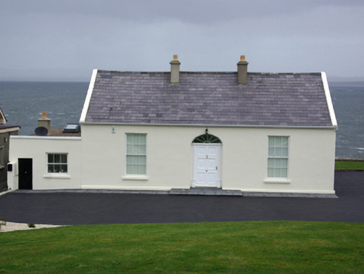 Beaufoy Lodgehouse · 450 yd
 Kilbarron Small Earthen Fairy FortFairy fort / earthen ringfort · 1016 yd
 Kilbarron Stone RingfortFairy fort / stone ringfort · 1075 yd
 RossnowlaghOfficial bathing water · 1118 yd
 Kilbarron Old Church GraveyardGraveyard · 1546 yd
 Dark Cliffs at KilbarronPublicly named cliff or headland · 1.3 mi
 Kilbarron Castle in ruinsCastle, tower house · 1.3 mi
 Wardtown StrandBeach / strand · 2.7 mi
 St Anne's Church GraveyardGraveyard · 3.2 mi
 Tullan StrandBeach / strand · 3.2 mi
 HawthornHawthorn · 3.4 mi