What is recorded here
Blackthorn chokes the southeast quarter while the northwest chamber sank beneath quarrying boots, yet the central wall still cuts the pasture like a knife. The fort stood reasonably whole in 1984 before human impatience erased its shape, leaving only a low ridge and scattered stone for the gods to haunt. What men built for life or legend has become a wound in the earth, visible only when the grass bends and memory returns.
In pasture, straddling the narrow, rounded top of a NW–SE rise.
This rath is not shown on 1838 OS 6-inch map. It is shown on the 1917 OS 6-inch edition as a broadly oval enclosure (c. 50m NW–SE; c. 40m NE-SW), crossed to NW of centre by a field wall on a NE–SW axis.
When inspected in 1984, the rath was found to be 'reasonably well preserved', although field walls on its perimeter at S had been removed (SMR file: OPW Field Notes 1984). The rath was subsequently levelled and its outline is now barely discernible at ground level. A low undulation still defines the perimeter in parts, and the bisecting NE–SW field wall is extant. The portion of the rath lying to SE of the NE–SW field wall, is evident now as an area of uneven and disturbed ground, largely obscured by thickets of blackthorn and heaps of loose stone. A short section of scarp may survive at S, incorporated into a later field wall. To NW of the bisecting wall, the interior area appears sunken and may have been quarried out. The NW–N edge of this sunken area is bordered by the remnants of a stone wall (Wth 0.6m; H 0.8m).
Compiled by: Jane O’Shaughnessy
Date of upload: 17 February 2022
The monument record does not grant public access. Check the route and ask the landowner before entering private land.
- What survives
- Recorded monument
Places near here
 CastleCastle, unclassified · 1474 yd
 Promontory fortPromontory fort, inland · 1488 yd
 Mannin Housefarm house · 1544 yd
 IndicatedFairy fort / earthen ringfort · 1661 yd
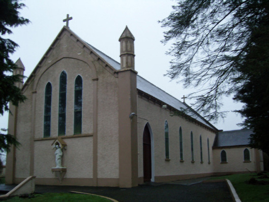 Saint Anne's Catholic Churchchurch/chapel · 1.8 mi
 Rath Castle in ruinsCastle, tower house · 2.7 mi
 Knock MuseumMuseum · 2.9 mi
 Knock ShrineHeritage attraction · 2.9 mi
 East Mayo Brigade MonumentMemorial · 3.7 mi
 I'll Send You The FareMemorial · 6.7 mi
 Oak WoodForest · 9.6 mi
 Geoffrey's WoodForest · 10 mi