What is recorded here
Fairy fort in Connaberry, County Cork: a circular rath about thirty metres across on the hill crest above Castletownroche. It stood out on the 1935 map, but ploughing and leveling reduced it to a slight rise; only aerial photographs still reveal the faint circular ditch. The land has buried the shape, yet the shape has not vanished.
In tillage, on crest of hill overlooking Castletownroche to W. Depicted as circular raised area (diam. c. 30m) on 1935 OS 6-inch map. Levelled; slight rise in field in area of site. Circular enclosure visible as faint cropmark of fosse in aerial photograph (GSIAP, R522).
The above description is derived from the published 'Archaeological Inventory of County Cork. Volume 4: North Cork' (Dublin: Stationery Office, 2000). In certain instances the entries have been revised and updated in the light of recent research.
Date of upload/revision: 14 January 2009
The monument record does not grant public access. Check the route and ask the landowner before entering private land.
- What survives
- Recorded monument
Places near here
 Fulacht fia in Kilcummer UpperFulacht fia · 271 yd
 Castle WidenhamCountry house · 526 yd
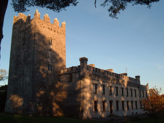 Blackwater Castlecountry house · 532 yd
 St Patricks Well (Site of)Holy well · 712 yd
 Castle (in Ruins)Castle, unclassified · 1.7 mi
 Anne's Grove GardensHeritage attraction · 2.1 mi
 Blackwater (Avondhu) WayWalking route · 2.2 mi
 CastleCastle, tower house · 2.4 mi
 Priest's WoodForest · 2.8 mi
 Johnson's WoodForest · 3.2 mi
 Knocknaskagh North TopMountain / peak · 3.5 mi
 Graveyard in BoherashGraveyard · 4.5 mi