What is recorded here
In low-lying gently undulating pasture. Oval area (c. 50m N-S; c. 40m E-W) enclosed by two concentric earthen banks with intervening fosse (W 1.4m). Inner bank (int. H 0.4m; ext. H 0.95m) best preserved NNE->SW. Outer bank (int. H 0.8m; ext. H 0.5m) survives NNE->S where amount of loose stone strewn about suggest that it was formerly stone faced. Fosse, heavily masked by overgrowth, is bridged by causeway (W 3.5m) at SW. From S->SW there is a noticeable concave kink in outline of enclosure where inner bank and fosse curve gently inwards. Interior is clogged with overgrowth.
Compiled by: Denis Power
Date of upload: 26 August 2011
See attached ASI aerial photographs ASIAP – taken on 04/03/2006.
The monument record does not grant public access. Check the route and ask the landowner before entering private land.
- What survives
- Recorded monument
Places near here
 Lismakeery Castle (in ruins)Castle, tower house · 935 yd
 Fulacht fia in LismakeeryFulacht fia · 1003 yd
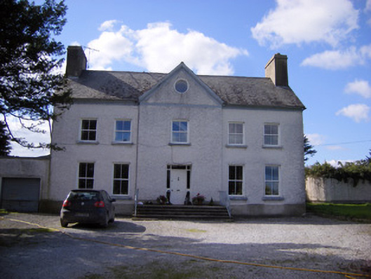 Bettyville housecountry house · 1010 yd
 Lismeale - HachuredFairy fort / earthen ringfort · 1162 yd
 Lismakeery Church (in ruins)Church · 1198 yd
 Milltown Castle (in ruins)Castle, tower house · 1.3 mi
 Askeaton CastleHeritage attraction · 2.4 mi
 Holly IslandIslet · 3.3 mi
 TobernablahySpring · 3.8 mi
 St. Kieran's WellSpring · 3.9 mi
 Tummera LittleIslet · 5.0 mi
 Herring RockNamed rock · 5.0 mi