What is recorded here
No visible entrance or surrounding ditch survives, yet the earthen ring still holds its shape beneath conifers and scrub. It is a small D-shaped fort on a drumlin slope, measured at roughly twenty-six metres across, with a low scarp and intermittent bank marking its edge. Field banks have cut into its western and northern sides, but the central grassy area remains unplanted and distinct. The name fairy fort suggests people once believed the shape belonged elsewhere, even when the earth and stones proved ordinary.
Situated on a small rise on the NE-facing slope of a drumlin in a coniferous forest. This is a D-shaped grass and scrub-covered area (dims 26.4m N-S; 24m E-W) defined by a scarp (H 0.4m) NE-SE and intermittently by an earthen bank (Wth 4.5m; int. H 0.7; ext. H 1.2m) SE-W, but the monument is truncated by a N-S field bank at W and an E-W field bank at N. There is no visible fosse and the original entrance is not identified. It remains unplanted in a coniferous forest planted c.1990. Rath (LE015-077----) is c. 80m to the WSW and rath (LE015-079----) is c. 90m to the SSE.
The above description is derived from 'The Archaeological Inventory of County Leitrim' compiled by Michael J. Moore (Dublin: Stationery Office, 2003). In certain instances the entries have been revised and updated in the light of recent research.
Date of upload: 23 September 2008
The monument record does not grant public access. Check the route and ask the landowner before entering private land.
- What survives
- Recorded monument
Places near here
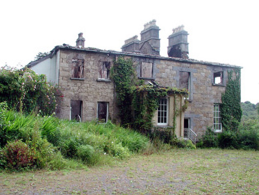 Drumlease Glebe Houserectory/glebe/vicarage/curate's house · 441 yd
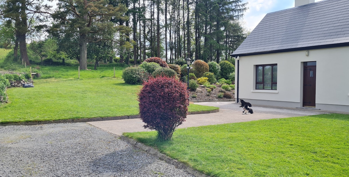 Not ineicatedFairy fort / earthen ringfort · 1073 yd
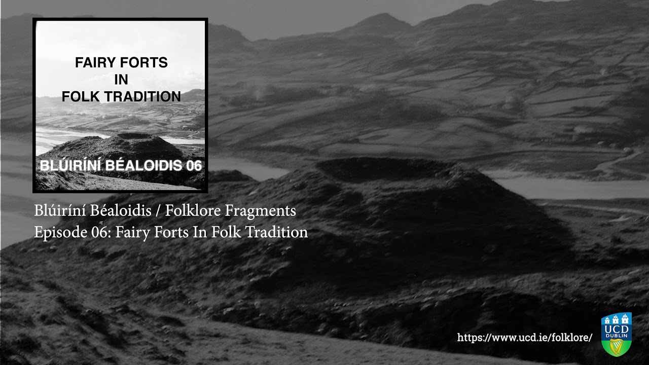 Fairy fort / earthen ringfort in SocksFairy fort / earthen ringfort · 1422 yd
 Church in DrumleaseChurch · 1.1 mi
 Green IslandIslet · 1.1 mi
 Old HallCastle, hall-house · 1.6 mi
 Doonbran Isd.Bawn · 2.9 mi
 Cullentra ForestForest · 3.3 mi
 Parke's CastleHeritage attraction · 3.6 mi
 Trawane BayBay · 3.8 mi
 InnisfreeIslet · 3.9 mi
 BenboMountain / peak · 4.0 mi