What is recorded here
Half a kilometre west of the Bonet River, a coniferous forest holds an unplanted oval of grass and scrub. Earthen banks and a shallow fosse still mark the ringfort, though no entrance remains visible. The fairies may have taken the doorway, leaving humans to walk past the wall or sit inside the circle without knowing the shape of what they touched.
Situated on a small knoll overlooking a N-S section of the Bonet River which is c. 100m to the E. This is a grass and scrub-covered oval area (dims 42.7m NE-SW; 25.7m NW-SE), which remains unplanted within a coniferous forest, defined by an overgrown earthen bank (Wth 3m; int. H 0.3-0.4m; ext. H 0.8-1.3m) and outer fosse (Wth of base 1.5-2m; D 0.2-1m). The original entrance is not identified.
The above description is derived from 'The Archaeological Inventory of County Leitrim' compiled by Michael J. Moore (Dublin: Stationery Office, 2003). In certain instances the entries have been revised and updated in the light of recent research.
Date of upload: 23 September 2008
The monument record does not grant public access. Check the route and ask the landowner before entering private land.
- What survives
- Recorded monument
Places near here
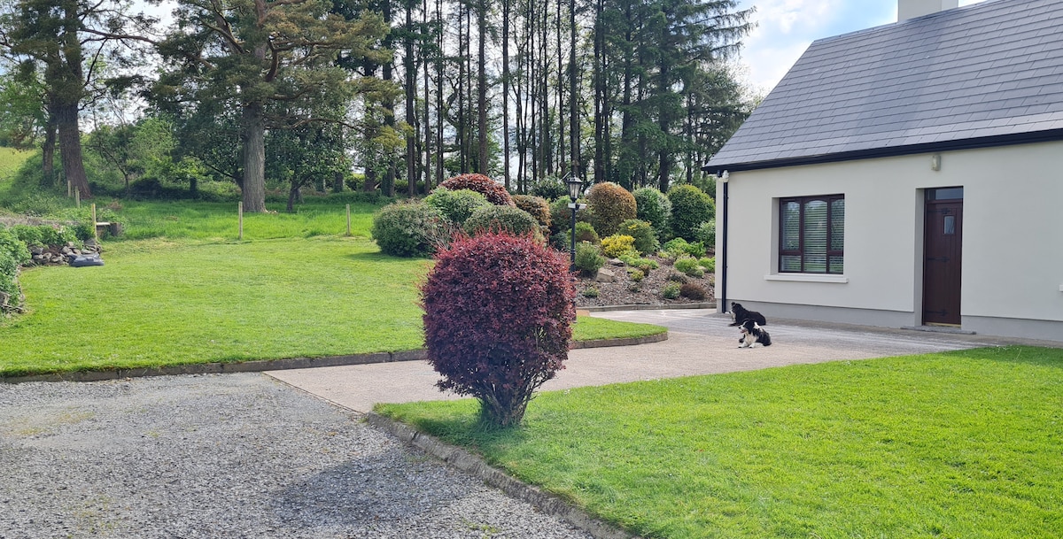 Not ineicatedFairy fort / earthen ringfort · 551 yd
 IndicatedFairy fort / earthen ringfort · 559 yd
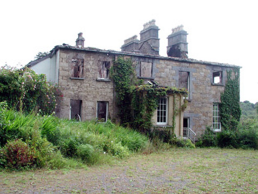 Drumlease Glebe Houserectory/glebe/vicarage/curate's house · 1145 yd
 Green IslandIslet · 1636 yd
 Kilcoosey National Schoolschool · 1.5 mi
 Old HallCastle, hall-house · 2.0 mi
 Doonbran Isd.Bawn · 3.2 mi
 Cullentra ForestForest · 3.6 mi
 BenboMountain / peak · 3.6 mi
 Parke's CastleHeritage attraction · 3.7 mi
 Trawane BayBay · 4.1 mi
 InnisfreeIslet · 4.2 mi