What is recorded here
Conagher holds a forty-five metre ring where human hands shaped earth into a circle before memory faded. The bank still curves from west through north to east, but the eastern and southern edges have surrendered to grass and time. Local story speaks of a cave hidden inside, later blocked to keep livestock from falling into darkness. That practical cruelty suggests the hole was real, deep enough to kill a horse or child, and human enough to fear.
On a S-facing slope in undulating grassland overlooking marshland to SE. Marked on 1st ed. of OS 6-inch map as a circular enclosure (D c. 45m). What survives is a degraded earthen bank from W through N to E; no visible surface trace survives elsewhere. According to local information, there is a 'cave' (possible Man-made underground passage) within the interior. It was blacked up to prevent livestock from falling in. No visible surface trace survives.
The above description is derived from the published 'Archaeological Inventory of County Galway Vol. II - North Galway'. Compiled by Olive Alcock, Kathy de hÓra and Paul Gosling (Dublin: Stationery Office, 1999).
Date of upload: 05 August 2010
The monument record does not grant public access. Check the route and ask the landowner before entering private land.
- What survives
- Recorded monument
Places near here
 CrossCross, Market cross · 520 yd
 Church in ConagherChurch · 585 yd
 IndicatedEnclosure · 1471 yd
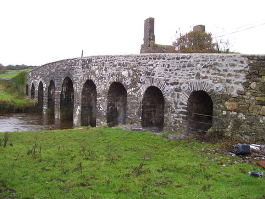 Doonmacreena Bridgebridge · 1.4 mi
 Bawn in Kilcloony (dunmore By.)Bawn · 2.9 mi
 Site of Doonbally CastleCastle, unclassified · 3.8 mi
 Oak WoodForest · 5.9 mi
 European ashEuropean ash · 6.6 mi
 Mass RockNamed rock · 7.9 mi
 Leacht cuimhne in ConagherLeacht cuimhne · 1.1 mi
 Enclosure in RusselstownEnclosure · 1.2 mi
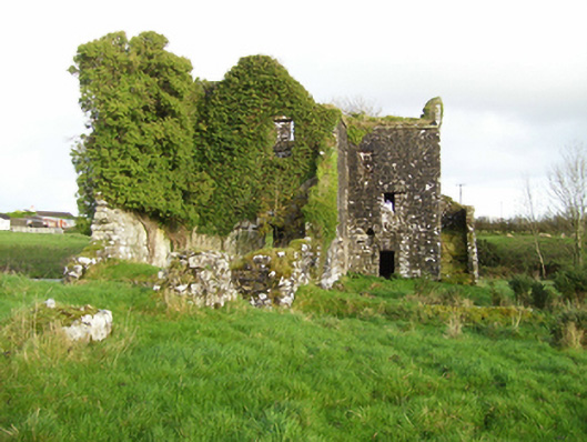 mill (water)mill (water) · 1.5 mi