What is recorded here
Situated at the summit of a NW-SE drumlin ridge, this rath is depicted on McCrea’s map of Co. Monaghan (1793). It is a subcircular grass-covered area (dims 28m E-W; 23.2m NW-SE) defined by an earthen bank (Wth of base 3.8-5.8m; int. H 0.3-0.7m; ext. H 1.1-1.3m) with some bushes, which is incorporated into a field bank with an outer stone facing NNW-NE, and a complete outer fosse (Wth of top 3.3-5.2m; Wth of base 1.2-2.8m; ext. D 0.2-0.5m). A gap at N is blocked by a tree but the original entrance (Wth of base 1.1m) is at S. A grass-covered depression (L 5.5m NNE-SSW; Wth 1.3-1.5m; max. D 0.7m) inside the bank at NW and another hollow (L 4m) 2m to the SW could represent two collapsed portions of a souterain.
The above description is derived from the published 'Archaeological Inventory of County Monaghan' (Dublin: Stationery Office, 1986). In certain instances the entries have been revised and updated in the light of recent research.
Date of revision: 27 July 2017
The monument record does not grant public access. Check the route and ask the landowner before entering private land.
- What survives
- Recorded monument
Places near here
 Man-made underground passage in ComraghsMan-made underground passage · 10 yd
 Field system in DrumirrilField system · 795 yd
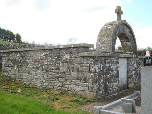 monumentmonument · 1412 yd
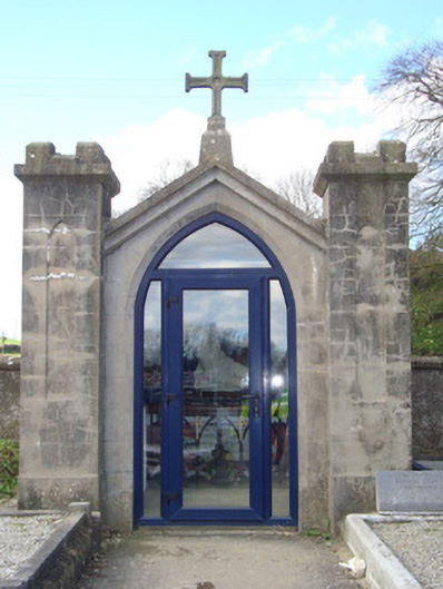 shrine/oratory/grottoshrine/oratory/grotto · 1476 yd
 CastleCastle, motte and bailey · 2.0 mi
 Mount AshCastle, motte · 2.6 mi
:no_upscale()/cdn.vox-cdn.com/uploads/chorus_asset/file/25593391/County_Louth_6th.jpg) LouthMountain / peak · 3.4 mi
LouthMountain / peak · 3.4 mi Flat cemetery in AnnaheanFlat cemetery · 5.7 mi
 Sky HillMountain / peak · 6.1 mi
 Ballsmill Amenity LandPicnic place · 6.1 mi
 Photo GalleryHeritage attraction · 6.7 mi
 Dundalk CentralHeritage attraction · 6.7 mi