What is recorded here
Colp East holds a forgotten ringfort at the tip of a low spur, its shallow ditch and hidden bank waiting beneath the soil. Anthony Murphy first saw the ghost shape in satellite imagery, proving the land still remembers what human feet have forgotten. The fairies may have built it, or humans may have built it for fairies, but the boundary remains clear enough for satellites to read.
Located at the tip of a low W-E spur. The cropmark of a subcircular enclosure (dims c. 38m NW-SE; c. 32m NE-SW) defined by a single fosse (Wth c. 3m) is visible only on Google Earth (21/07/2021). It was first reported by Anthony Murphy.
See the attached enhanced view from Google Earth (21/00/2021)
Compiled by: Michael Moore
Date of upload: 1 September 2021
The monument record does not grant public access. Check the route and ask the landowner before entering private land.
- What survives
- Recorded monument
Places near here
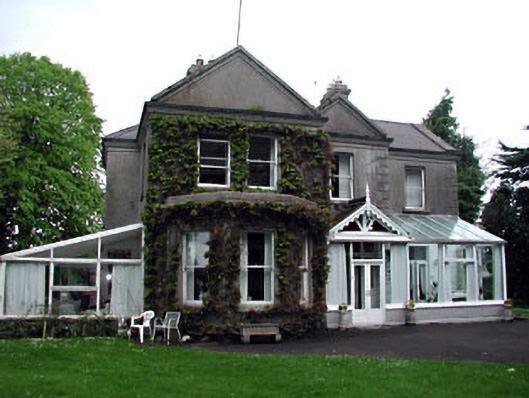 Colpe Househouse · 456 yd
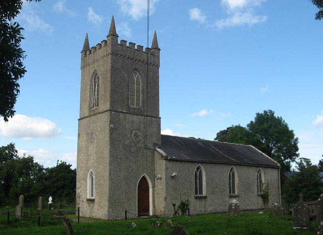 St. Columbas ChurchChurch · 528 yd
 Site of Old CastleCastle, unclassified · 621 yd
 Site of Colpa FortFairy fort / earthen ringfort · 712 yd
 Enclosure in Colp WestEnclosure · 1006 yd
 RuinCastle, tower house · 1364 yd
 Beaulieu House and GardensHeritage attraction · 1.7 mi
 Battle of Julianstownbattle · 2.3 mi
 Newgrange Business ParkMemorial · 3.4 mi
 Ben HeadCliff · 4.4 mi
 Yellow IslandIslet · 4.6 mi
 Grove IslandIslet · 4.9 mi