What is recorded here
Located on a fairly level landscape. The cropmark of a circular enclosure (int. diam. c. 55m) defined by a single fosse feature (Wth c. 4m) is visible on aerial photographs (MM (44) 8-11). There is an entrance gap at NW.
Compiled by: Michael Moore
Date of upload: 7 January, 2014
The monument record does not grant public access. Check the route and ask the landowner before entering private land.
- What survives
- Recorded monument
Places near here
 Bennettstown Housefarm house · 549 yd
 Windmill in Ballytory UpperWindmill · 611 yd
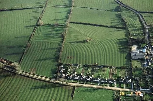 Field system in Ballytory UpperField system · 753 yd
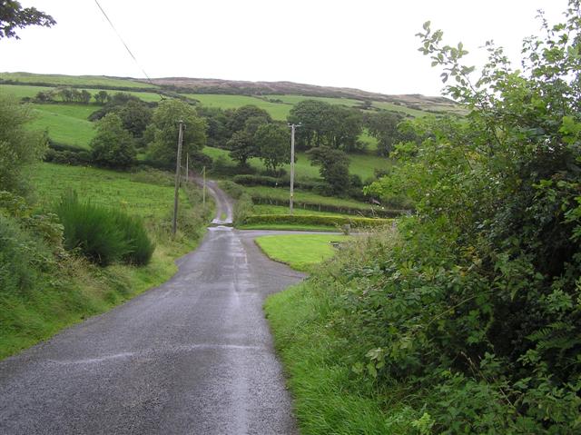 RoadRoad, road/trackway · 1034 yd
 Ballymacane CastleCastle, unclassified · 1.0 mi
 ScargeenIsland · 1.4 mi
 Castle (in ruins)Castle, tower house · 1.5 mi
 Lady's IslandVisitor information · 1.6 mi
 InishIsland · 1.6 mi
 Wilson's MoorWood · 1.8 mi
 The HamBay · 2.1 mi
 The Chour / The Hill of the ChourMountain / peak · 2.8 mi