What is recorded here
Cogaula holds a forty-one metre rath where two banks once stood before ploughs and time erased them. Lighter grass and a dark fossa line still trace the forgotten shape, while a boreen cuts through the middle like a knife. The fort is gone except for a gorse mound and the memory of enclosure, yet the land keeps repeating its circle beneath the grass.
On a rise in undulating grassland. Very poorly preserved circular rath (D 41m) defined by a slightly raised platform. According to local information, it was enclosed by two banks which were levelled some years ago: these are now indicated by lighter bands of vegetation, while a darker band between them probably indicates the line of a fosse. A boreen cuts the rath at ENE and SSE, to E of which a gorse-covered mound is all that survives of the monument. A ringfort (GA031-022----) lies c. 230m to SW.
The above description is derived from the published 'Archaeological Inventory of County Galway Vol. II - North Galway'. Compiled by Olive Alcock, Kathy de hÓra and Paul Gosling (Dublin: Stationery Office, 1999).
Date of upload: 05 August 2010
The monument record does not grant public access. Check the route and ask the landowner before entering private land.
- What survives
- Recorded monument
Places near here
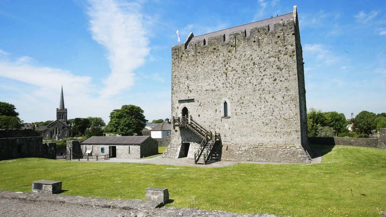 Lerhin CastleCastle · 935 yd
 Derrynabuie Househouse · 1038 yd
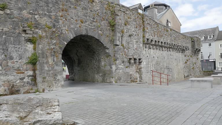 Enclosure in LerhinEnclosure · 1224 yd
 Clonbern Parkoutbuilding · 1533 yd
 Holy WellHoly well · 1.0 mi
 Park CastleCastle · 1.3 mi
 Cloonavihony WoodForest · 9.2 mi
 Knockmoy AbbeyHeritage attraction · 9.6 mi
 Site of Killomaine Grave YardArchaeological place · 9.9 mi
 Menlough IRAMemorial · 10 mi
 European ashEuropean ash · 11 mi
 Mass RockNamed rock · 12 mi