What is recorded here
Fairy fort / earthen ringfort in Cluid is a fairy fort or earthen ringfort in Cluid, County Sligo, Ireland. It occupies an oval area thirty metres east-west and twenty-one metres north-south near the top of an east-facing slope. Two earthen banks surround a five-metre-wide ditch, while a causeway connects the eastern entrance to a north-east-south-west field boundary. A possible megalithic tomb lies twenty metres west of the ringfort.
In pasture near the top of an E-facing slope. An oval area (int. diam. 30m E-W; 21m N-S) enclosed by two earthen banks with an intervening fosse (Wth 5m). The inner bank (Wth 2.5m; int. H 1m; ext. H 2m) is the most substantial. The outer bank (Wth 1.8m; ext. H 0.2m) has a gap (Wth 2m) at N. The entrance is through the inner and outer banks (Wth 3m and 4m respectively) at E with a causeway across the fosse, in line with a NE-SW field boundary which crosses the centre of the interior. A possible megalithic tomb (SL033-166----) lies c. 20m to W.
The above description is derived from the published 'Archaeological Inventory of County Sligo' compiled by Ursula Egan, Elizabeth Byrne, Mary Sleeman with Sheila Ronan and Connie Murphy (Dublin Stationery Office, 2005).
Date of upload: 18 January 2008
The monument record does not grant public access. Check the route and ask the landowner before entering private land.
- What survives
- Recorded monument
Places near here
 RathdoonyCastle, motte · 976 yd
 Enclosure in Rathdoony BegEnclosure · 1587 yd
 Indicated (1838).Enclosure · 1657 yd
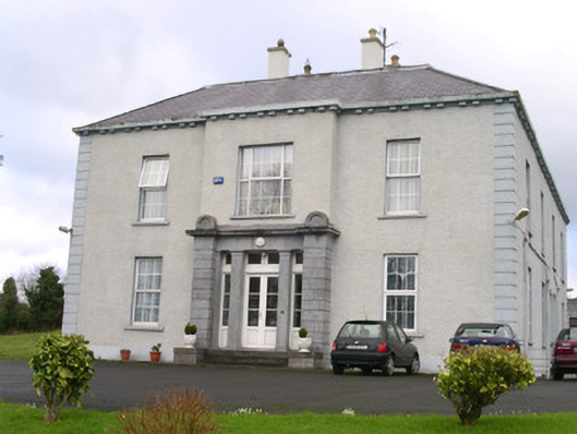 Earlsfieldhouse · 1.3 mi
 KilnKiln, lime · 1.4 mi
 Brother WalfridMemorial · 1.4 mi
 Ballymote CastleCastle · 1.5 mi
 ElderElder · 1.9 mi
 European ashEuropean ash · 2.4 mi
 James MorrisonMemorial · 4.2 mi
 Tymon's HillMountain / peak · 4.4 mi
 Caves of KeshCave · 4.9 mi