What is recorded here
Fairy fort / earthen ringfort in Cluid is a fairy fort or earthen ringfort in Cluid, County Sligo, Ireland. The raised oval area sits in pasture on a slight southeast facing slope. An earth and stone bank defines most of the perimeter while a scarp marks the remaining edge. A separate six metre earthen bank stands immediately outside the northeast section.
In pasture, on a slight SE-facing slope. A raised oval area (33m N-S; 38m E-W) defined by an earth and stone bank (int. H 0.6m; ext. H 1.15m) NNW-NE, SE-S and SSW-W and by a scarp elsewhere. At NE the bank turns outwards towards a 6m long free-standing section of earthen bank (H 0.8m; Wth top 0.6m; Wth base 2.20m) immediately outside the interior. This may be the remains of a field boundary or part of a levelled annexe. The interior is dry and clear of overgrowth and slopes gently down to SE. Part of the NE quadrant is divided from the rest of the interior by a curved length of earth and stone bank (NW-SE).
The above description is derived from the published 'Archaeological Inventory of County Sligo' compiled by Ursula Egan, Elizabeth Byrne, Mary Sleeman with Sheila Ronan and Connie Murphy (Dublin Stationery Office, 2005).
Date of upload: 18 January 2008
The monument record does not grant public access. Check the route and ask the landowner before entering private land.
- What survives
- Recorded monument
Places near here
 Indicated (1838).Enclosure · 823 yd
 Enclosure in Rathdoony BegEnclosure · 1422 yd
 RathdoonyCastle, motte · 1.0 mi
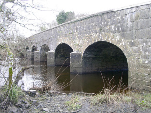 Templehouse Bridgebridge · 1.2 mi
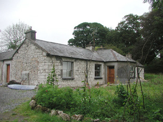 Somertonhouse · 1.3 mi
 ElderElder · 1.7 mi
 Brother WalfridMemorial · 1.9 mi
 Ballymote CastleCastle · 2.0 mi
 European ashEuropean ash · 2.1 mi
 James MorrisonMemorial · 4.2 mi
 Tymon's HillMountain / peak · 4.7 mi
 Tullaghan HillMountain / peak · 5.2 mi