What is recorded here
Thirty-five metres of vanished earth in Clorusk Upper, marked only on a 1908 map and local memory. The fairies took the fort back when the humans stopped feeding the gate, leaving behind a smooth hole in the ground where anger and love should have stood.
The following description is derived from the published 'Archaeological Inventory of County Carlow' (Dublin: Stationery Office, 1993). In certain instances the entries have been revised and updated in the light of recent research.
Date of upload/revision: 17 July 2007
Marked on 1908 'OS 6-inch' map (max. diam. c. 35m). Described locally as circular, with low earthen bank and external fosse. No visible surface traces.
A fairy fort or earthen ringfort in Clorusk Upper is a circular earthwork enclosure typical of early-medieval Ireland, likely dating to between the 5th and 10th centuries AD. Local tradition associates such sites with fairy folk, and they were often avoided for fear of disturbing supernatural inhabitants.
The monument record does not grant public access. Check the route and ask the landowner before entering private land.
- What survives
- Recorded monument
Places near here
 Clorusk MoatFairy fort / earthen ringfort · 678 yd
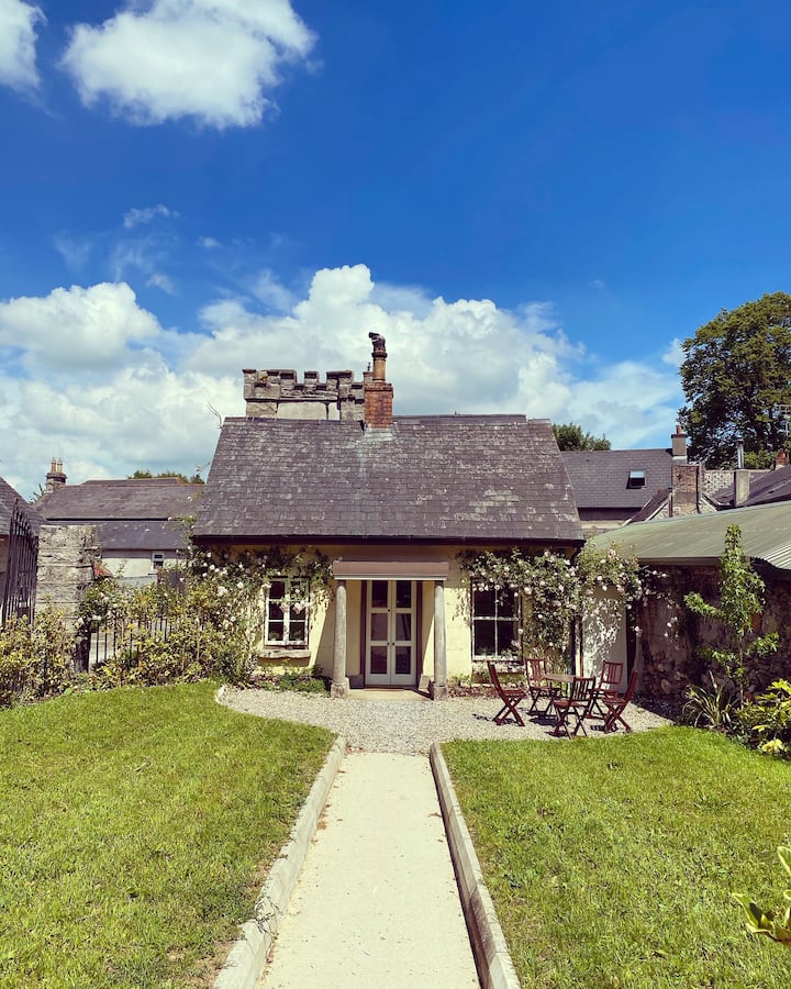 Enclosure in ClosuttonEnclosure · 735 yd
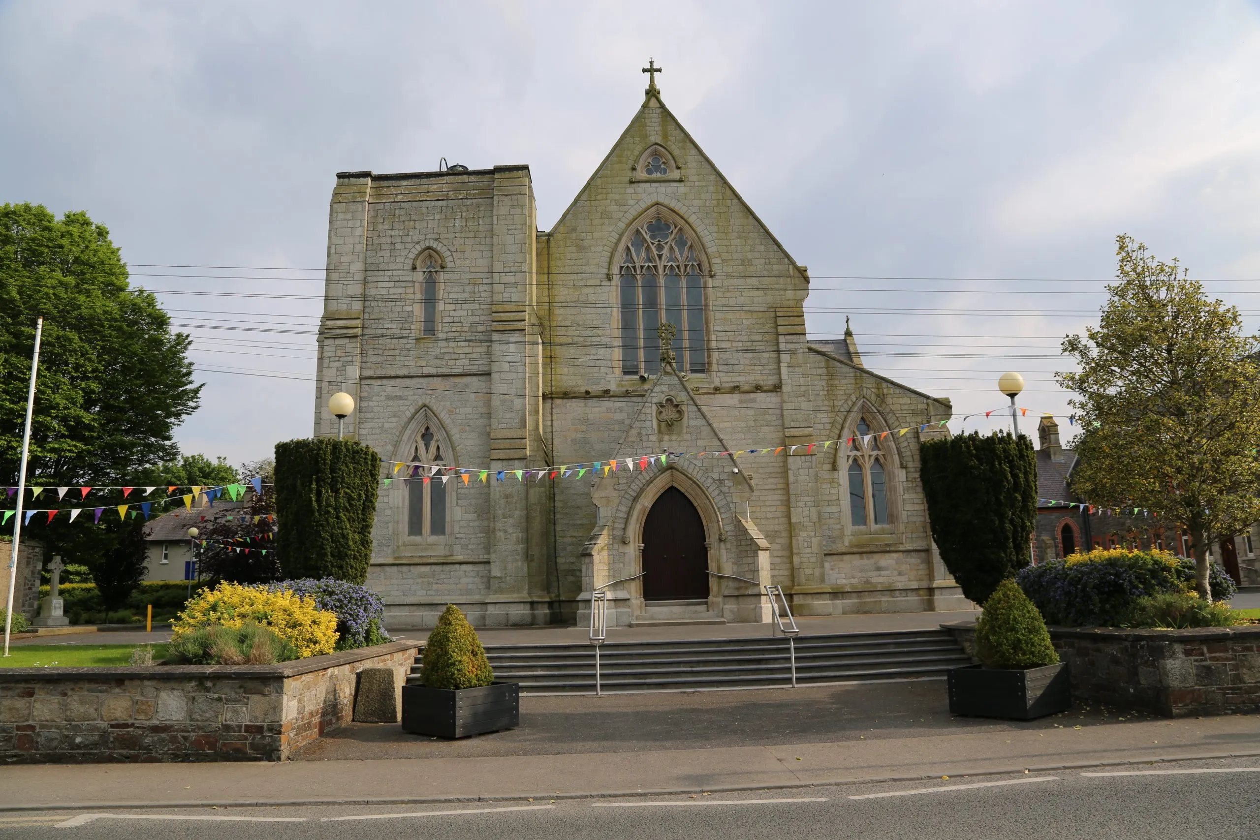 Killinane Church (in ruins)Church · 1593 yd
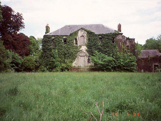 Hollodenhouse · 1685 yd
 Church (in ruins), GraveyardChurch · 1.0 mi
 Lock Keeper's House and Lodge MillsVisitor information · 1.4 mi
 Church, GraveyardChurch · 1.9 mi
 The Columban WayVisitor information · 1.9 mi
 The Green GardenWood · 1.9 mi
 Black Castle (in ruins)Castle, tower house · 2.1 mi
 Sweet ChestnutSweet Chestnut · 2.5 mi
 Dunleckny Ho.Castle, unclassified · 2.6 mi