What is recorded here
Situated on a slight natural rise surrounded by gently undulating grassland, restricted views from S-W-N. Cloran Loughs 140m to NW. A sub-circular shaped area (approx. diam 52m N-S: 50m E-W) enclosed by a poorly preserved earthen bank and slight external fosse. The interior of the monument has traces of cultivation ridges. The E side of the site has been intersected by a post 1837 field fence and drain. This site appears to have been levelled, as is visible as a crop mark on Digital Globe aerial photograph taken November 2011.
See attached plan of monument surveyed and drawn by the ASI.
Compiled by: Frank Coyne and Caimin O'Brien
Date of upload: 17 May 2017
The monument record does not grant public access. Check the route and ask the landowner before entering private land.
- What survives
- Recorded monument
Places near here
 Church (in ruins)Church · 1286 yd
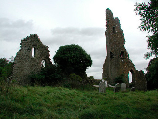 church/chapelchurch/chapel · 1293 yd
 OutlinedFairy fort / earthen ringfort · 1.1 mi
 Bawn in Heathstown (delvin By.)Bawn · 1.2 mi
 Moneen WoodWood · 1.2 mi
 Dervotstown CastleCastle · 1.2 mi
 Beggarbush WoodWood · 1.3 mi
 Enclosure in GreenanstownEnclosure · 1.4 mi
 Drewstown LittleMountain / peak · 1.4 mi
 Causey FarmHeritage attraction · 2.9 mi
 FarmaphobiaHeritage attraction · 3.0 mi
 CloncatMountain / peak · 3.0 mi