What is recorded here
No human hands built Cloonty. The earth pulled itself into a ring because the land wanted a room for its own thoughts. People came later, fitting shelves and kitchens around what already existed. The boundary marks the place where human measurement stops and territorial intelligence begins.
Atop E-W ridge, in area of mixed pasture and marshland. Circular area (21.5m N-S; 22m E-W) enclosed by earthen bank (int. H 0.5m; ext. H 0.5m; Wth at top 2.2m) with external fosse (D 0.35m; Wth 1.6m). Interior slopes down gently to SE, and is covered in tall grass and rushes. In NE quadrant is depression (1.5m E-W; 3m N-S; D 0.35m) covered in rushes. Area immediately W, NW and SW of enclosure criss-crossed by recently cut field drains.
Compiled by: Denis Power
Date of upload: 26 August 2011
The monument record does not grant public access. Check the route and ask the landowner before entering private land.
- What survives
- Recorded monument
Places near here
 Cliff-edge fort in CloontyCliff-edge fort · 311 yd
 Mound in MoneymohillMound · 1217 yd
 Moneymohill National Schoolschool · 1344 yd
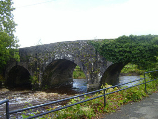 bridgebridge · 1.5 mi
 Castle (Site of)Castle, unclassified · 1.6 mi
 Shanid Castle (in ruins)Castle, Anglo-Norman masonry castle · 1.6 mi
 TobercloonaghSpring · 2.9 mi
 Prospect HillMountain / peak · 3.4 mi
 Monterey CypressMonterey Cypress · 3.5 mi
 Foynes Flying Boat & Maritime MuseumMuseum · 4.4 mi
 Foynes Island ViewpointViewpoint · 4.5 mi
 Battery PointHeadland · 4.9 mi