What is recorded here
On a sunny Galway slope, a forty-metre earthen ring stands in grass, its ancient bank broken only where modern boots or curiosity cut through. The fairies may have built it, but humans surely lived there, loved there, and forgot it. The hole in the wall is an invitation, not a wound.
On a S-facing slope in grassland. Subcircular rath (N-S 43.8m, E-W 40m), in fair condition, defined by an overgrown earthen bank and external fosse. A number of breaches in the bank appear modern. This monument also extends on to OS sheet 7 (GA007-051----).
The above description is derived from the published 'Archaeological Inventory of County Galway Vol. II - North Galway'. Compiled by Olive Alcock, Kathy de hÓra and Paul Gosling (Dublin: Stationery Office, 1999).
Date of upload: 05 August 2010
The monument record does not grant public access. Check the route and ask the landowner before entering private land.
- What survives
- Recorded monument
Places near here
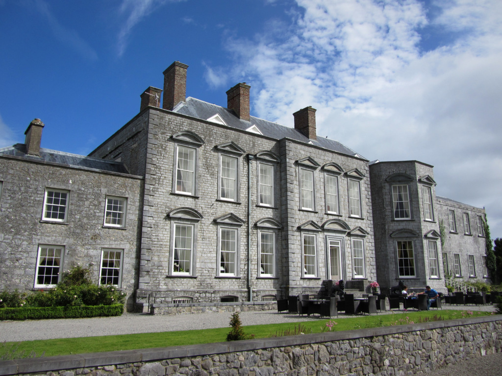 IndicatedFairy fort / earthen ringfort · 1449 yd
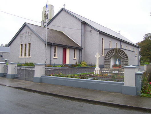 Saint Croan's Catholic Churchchurch/chapel · 1596 yd
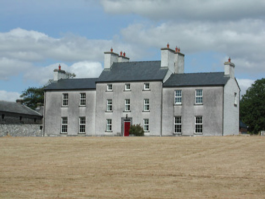 Dundermot Housecountry house · 1641 yd
 EnclosureFairy fort / earthen ringfort · 1.1 mi
 Site of Killomaine Grave YardArchaeological place · 2.0 mi
_-_geograph.org.uk_-_1952978.jpg?width=1280) Bawn in Glinsk (ballymoe By.)Bawn · 2.3 mi
Bawn in Glinsk (ballymoe By.)Bawn · 2.3 mi Site of Ballyglass CastleCastle, unclassified · 2.4 mi
 Rook HillMountain / peak · 4.0 mi
 HawthornHawthorn · 4.4 mi
 Coolougher WoodForest · 6.5 mi
 Mount MaryMountain / peak · 8.2 mi
 Sally IslandIslet · 9.3 mi