What is recorded here
Cloonreask held a forty-metre ringfort on the limestone edge before ploughs erased most of its shape. A curved dry-stone wall still marks part of the original line, guarding a gentle slope where cattle now graze. The fairies may have taken the rest, but human hands built the first circle and human hunger removed it.
In low-lying pasture, on S edge of limestone outcrop. Monument, depicted on 1841 OS 6-inch map as roughly circular enclosure (diam. c. 40m), has been levelled. However, a curved section of dry-stone field wall (H c. 1m; Wth c. 0.65m), defining a semicircular area (20m N-S; 36.5m E-W) WNW->E, respects line of enclosure. Area of enclosure, under pasture, slopes down gently to S.
Compiled by: Denis Power
Date of upload: 26 August 2011
The monument record does not grant public access. Check the route and ask the landowner before entering private land.
- What survives
- Recorded monument
Places near here
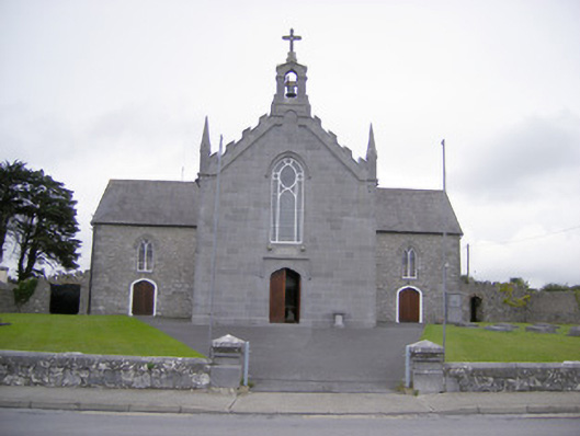 Saint Mary's Catholic Churchchurch/chapel · 280 yd
 Askeaton CastleHeritage attraction · 817 yd
 Bridge Househouse · 818 yd
 AskeatonHistoric town · 910 yd
 TombTomb, unclassified · 935 yd
 Tomdeely CastleCastle · 1.3 mi
 Holly IslandIslet · 1.6 mi
 Lismakeery Castle (in ruins)Castle, tower house · 1.7 mi
 Greenish IslandIslet · 2.5 mi
 Courtbrown PointHeadland · 2.8 mi
 Herring RockNamed rock · 3.5 mi
 Curraghchase Forest ParkForest · 4.7 mi