What is recorded here
No visible trace on site. The story is a human one: a circular fort stood on that ridge, people lived or worked there, and forestry cut through it. What is left is a broken ring, not a finished fact.
On S-facing brow of E-W ridge. Monument, depicted as embanked circular enclosure (diam. c. 20m) on 1923 OS 6-inch map, has been almost completely destroyed by extensive drain excavation for forestry plantation- area now planted with young coniferous trees. Short arc of bank (L 5.2m; H c. 0.6m), densely overgrown with gorse and brambles, may be part of NW arc of enclosing element.
Compiled by: Denis Power
Date of upload: 26 August 2011
The monument record does not grant public access. Check the route and ask the landowner before entering private land.
- What survives
- Recorded monument
Places near here
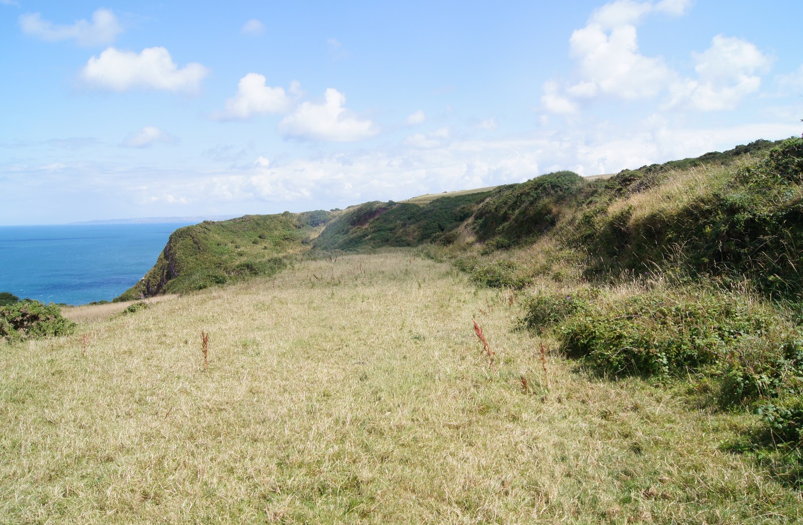 Field boundary in Killacolla (shanid By.)Field boundary · 588 yd
 Prospect HillMountain / peak · 616 yd
 Mound in Killacolla (shanid By.)Mound · 704 yd
 Church in Flean MoreChurch · 1567 yd
 IndicatedKiln, lime · 1.2 mi
 Castle (Site of)Castle, unclassified · 1.2 mi
 TobercloonaghSpring · 1.4 mi
 Bawn in Killacolla (barker)Bawn · 2.0 mi
 Mountshannon WoodWood · 2.4 mi
 Mountshannon PointHeadland · 2.5 mi
 Killanna PointHeadland · 3.1 mi
 Mountshannon EstateHeritage attraction · 3.4 mi