What is recorded here
Cloonnagalleen holds a thirty-four metre ring of earth and stone atop a Limerick hill, marked locally as a fairy fort yet built by human hands. Its wide bank still rises a metre and a half on one side, while ploughing and time have softened the rest into a shallow scar. People may have lived inside, feared the fairies, or simply followed the curve of the land when they first saw it.
In rough pasture, atop hill. Circular area (diam. 34m) enclosed by exceptionally wide earthen bank (Int. H 0.65m; ext. H 1.2m; Wth 6.5m) NNE->ESE, otherwise enclosing element largely levelled but apparent as low scarped edge (H 0.2m; Wth 1.75m) SW->NW and NNW->NNE. Slightly curved stony bank (int. H 0.9m; ext. H 1.4m) skirts around enclosing bank NNE->ESE. Interior, under pasture, dips gently towards centre.
Compiled by: Denis Power
Date of upload: 26 August 2011
The monument record does not grant public access. Check the route and ask the landowner before entering private land.
- What survives
- Recorded monument
Places near here
 Celtic Park and GardensHeritage attraction · 343 yd
 Indicated (1923).Enclosure · 490 yd
 Castle GreyHouse, 18th/19th century · 1076 yd
 St. Bridgets WellHoly well · 1154 yd
 Stonehall Visitor FarmHeritage attraction · 1432 yd
 Derreen Castle (in ruins)Castle, tower house · 1483 yd
 European YewEuropean Yew · 1746 yd
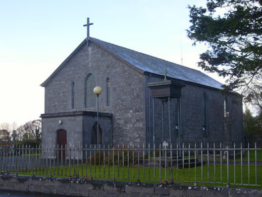 Catholic Church of Saint John the Baptistchurch/chapel · 1.1 mi
 CastleCastle, tower house · 1.2 mi
 KnocknagowerNamed rock · 2.0 mi
 European BeechEuropean Beech · 3.9 mi
 Adare Tourist OfficeVisitor information · 4.0 mi