What is recorded here
Cloonnagalleen holds a broken stone ring where human hands shaped the hill before fairy tales claimed it back. The field wall still bends around the circle, admitting the fort more than it admits a farm. Inside the shallow dip, shadow and memory gather like breath in a chamber no longer built for people.
In rough pasture, atop hill in area of outcropping limestone. Circular area (37.5m N-S; 35.5m E-W) enclosed by earth-and-stone bank (int. H 0.3m; ext. H 0.7m), best preserved NE->SSE. Gap (Wth 4m) in bank at NE. Field wall kinks to respect enclosure NE->SSE. Interior is level and under pasture except for section (L c. 7m N-S) immediately inside enclosing bank SE->SW where there is noticeable dip, covered with trees, separated from rest of interior by ruinous curving wall (H 0.6m; Wth 0.8m).
Compiled by: Denis Power
Date of upload: 26 August 2011
The monument record does not grant public access. Check the route and ask the landowner before entering private land.
- What survives
- Recorded monument
Places near here
 Castle GreyHouse, 18th/19th century · 280 yd
 Indicated (1923).Enclosure · 403 yd
 Derreen Castle (in ruins)Castle, tower house · 611 yd
 Celtic Park and GardensHeritage attraction · 1112 yd
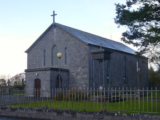 Catholic Church of Saint John the Baptistchurch/chapel · 1189 yd
 Hut site in GlennameadeHut site · 1277 yd
 Stonehall Visitor FarmHeritage attraction · 1549 yd
 European YewEuropean Yew · 1.1 mi
 CastleCastle, tower house · 1.1 mi
 Sweet ChestnutSweet Chestnut · 3.0 mi
 Ringmoylan PierVisitor information · 3.8 mi
 Mellon PointHeadland · 3.9 mi