What is recorded here
Fairy fort / earthen ringfort in Cloonmore is a fairy fort or earthen ringfort in Cloonmore, County Tipperary, Ireland. It occupies a sixty-three-metre circular area on the south-facing slope of a ridge. The southern half is levelled, though a low broad rise marks the former bank line. The northern bank stands about three metres wide, rises two metres externally and one and a half metres internally, and remains overgrown with nettles and scrub.
Situated on the S-facing slope of a ridge, in tillage. A circular area (diam. 63m) the S half of which is levelled, though a low, broad, curving rise indicates the line of the bank. The remaining earthen bank (Wth c. 3m; int. H 1.5m; ext. H c. 2m) on the N side is heavily overgrown with nettles and scrub and is incorporated in the field boundary. A curving depression in the interior at NE may indicate a former fosse which suggests that the visible bank is an outer bank, with the internal bank and fosse levelled. This would give an internal diameter of c. 24m.
The above description is derived from 'The Archaeological Inventory of County Tipperary. Vol. 1 - North Tipperary' compiled by Jean Farrelly and Caimin O'Brien (Dublin: Stationery Office, 2002). In certain instances the entries have been revised and updated in the light of recent research.
Date of upload/revision: 22 September 2008
The monument record does not grant public access. Check the route and ask the landowner before entering private land.
- What survives
- Recorded monument
Places near here
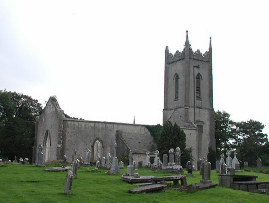 Saint Michael's Church (Ballymackey)church/chapel · 150 yd
 Lisnamoe Houserectory/glebe/vicarage/curate's house · 268 yd
 Ballymackey CastleCastle · 557 yd
 Enclosure in ElmhillEnclosure · 1.2 mi
 Habitation site in ClashnevinHabitation site · 1.5 mi
 CastleCastle, tower house · 2.0 mi
 James Devaney MemorialMemorial · 2.3 mi
 Ballycapple WoodForest · 3.0 mi
 Kyleroe WoodWood · 3.5 mi
 Gibbet HillMountain / peak · 4.3 mi
 Old BarracksHeritage attraction · 4.5 mi
 Nenagh Heritage CentreMuseum · 4.7 mi