What is recorded here
Cloonmore holds a broad earthen ring where two causeways still cut through its banks, marking entrances that predate the road clipping its western edge. The site measures nearly forty-seven metres across, yet its double ditches and sturdy outer bank suggest more than a humble farmyard. It may have been a seasonal meeting place, a fortified homestead, or a boundary marker for a lost lineage. The earth remembers shape even when the name has faded.
On a low but prominent rise in pasture. A raised circular area (diam. 46.8m) enclosed by a low bank of earth and stone (Wth 2.9m; H 0.7m max.) with an intervening fosse (Wth 4.8m; D 1m), a much-wider outer bank (Wth 5.7m; H 1m) and an outer fosse (Wth 3.6m; D 0.5m). The outer fosse has been clipped by a N–S running road from WSW-W-WNW. Here at its outer lip there is a low bank of earth and stone, which is probably the remains of a relatively modern field boundary. Corresponding breaks (Wth 2.2m) in the banks at SE with an accompanying causeway mark the original entrance. At W there are also corresponding breaks (Wth 1.9m) in the banks with an accompanying causeway.
Compiled by: Patrick F. O'Donovan
Date of upload: 29 November 2011
The monument record does not grant public access. Check the route and ask the landowner before entering private land.
- What survives
- Recorded monument
Places near here
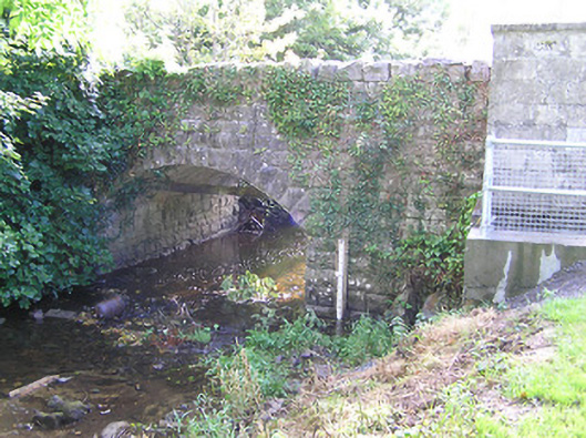 bridgebridge · 685 yd
 RoadRoad, class 2 togher · 804 yd
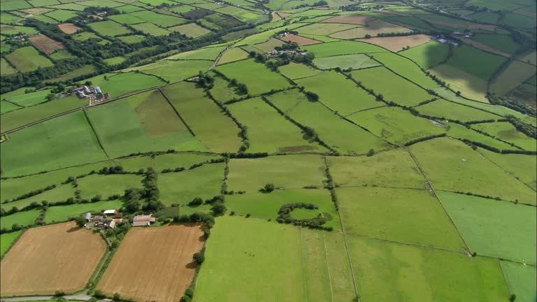 PlatformPlatform, peatland · 1059 yd
 StructureStructure, peatland · 1067 yd
 CastleCastle, tower house · 1.4 mi
 Graveyard in Curry (ardagh By., Coolamber Ed)Graveyard · 2.3 mi
 First World War MemorialMemorial · 3.3 mi
 Bawn in AbbeycartronBawn · 3.3 mi
 Saint Mel's CathedralCathedral · 3.4 mi
 Commons North WalkVisitor information · 5.5 mi
 Wild birdsVisitor information · 5.6 mi
 White Sand WoodWood · 6.0 mi