What is recorded here
Cloonmain holds a faded twenty-four metre ring where an earthen bank still curves from east through south to west while a sharp scarp completes the circle toward north. A field boundary now cuts across the ancient shape, reducing human memory to a line drawn for livestock or crops. Children were buried immediately south of the ring, suggesting the site remained charged long after its builders left. The fort may have been a home, a refuge or a boundary marker, but its exact purpose has dissolved into grass and silence.
In undulating grassland. Very poorly preserved circular enclosure (diam. 24m) defined by an earthen bank from E through S to W and by a scarp from W to N. A field boundary cuts across the monument from W to N. A children's burial ground (GA098-079----) lies immediately to the S.
Compiled by: Galway Archaeological Survey, UCG
Date of upload: 21 February 2019
The monument record does not grant public access. Check the route and ask the landowner before entering private land.
- What survives
- Recorded monument
Places near here
 Quarry in Ballydonnellan WestQuarry · 1036 yd
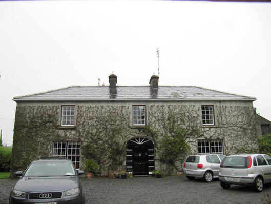 The Cottagehouse · 1067 yd
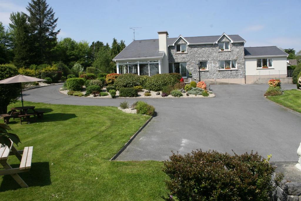 CrossCross · 1305 yd
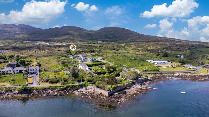 Enclosure in BallyhoganEnclosure · 1347 yd
 Dartfield Horse MuseumHeritage attraction · 2.3 mi
 Drought Castle (in Ruins)Castle, tower house · 2.5 mi
 Kilcooly Castle (in ruins)Castle, tower house · 3.4 mi
 Battle of AughrimMajor battlefield · 6.1 mi
 Kilconnell AbbeyHeritage attraction · 6.2 mi
 Battle of Aughrim Interpretative CentreMuseum · 6.2 mi
 Oak WoodWood · 6.4 mi
 Urraghry HillMountain / peak · 7.4 mi