What is recorded here
That is the end of the available evidence for the named place. There is no more than this, and repetition would not make it larger.
In slightly elevated generally marshy terrain, on NE side of stream. Circular area (22.5m N-S; 22m E-W) enclosed by earthen bank (int. H 0.4m; ext. H 1.1m) with external fosse (D 0.3m; Wth 3.5m) W->S, and defined by scarped edge S->W (this area impenetrable due to dense overgrowth). Entrance at NNW where break in bank (Wth 2m) corresponds with causeway across fosse. Interior surface is uneven and marshy. Field boundary skirts enclosure on N and E sides; just beyond enclosure to W is sharp natural fall in ground level.
Compiled by: Denis Power
Date of upload: 26 August 2011
The monument record does not grant public access. Check the route and ask the landowner before entering private land.
- What survives
- Recorded monument
Places near here
 Ahanagorp Burial GroundBurial ground · 791 yd
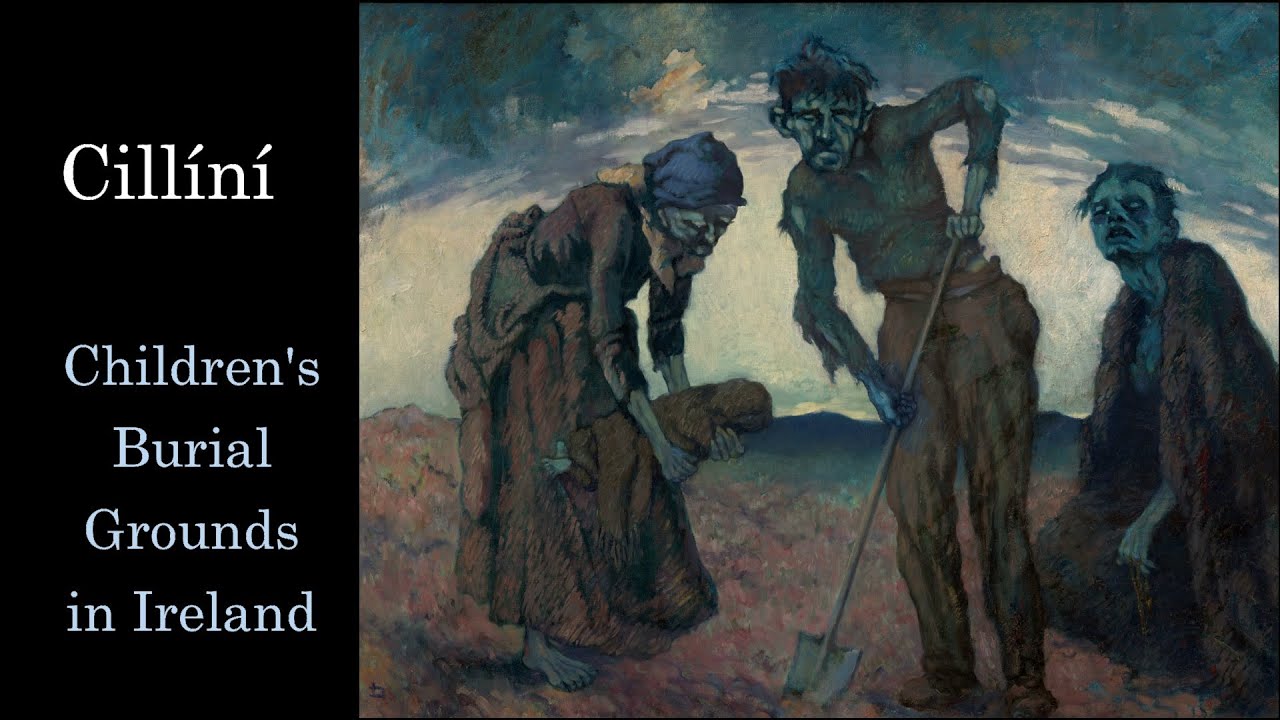 Ahanagorp Childrens Burial G.Children's burial ground · 1124 yd
 TobercloonaghSpring · 1.6 mi
 Scoil Naomh Mhuireschool · 1.7 mi
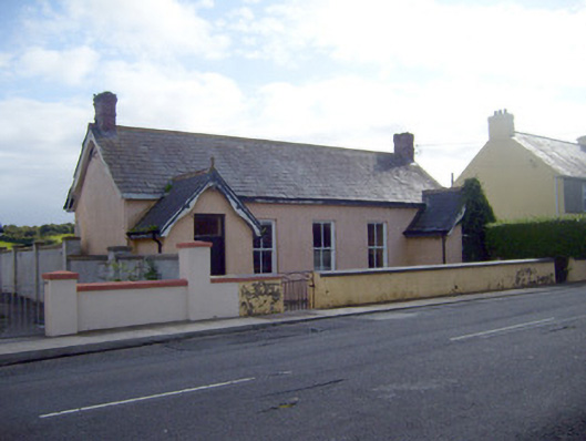 Ballyhahill Carnegie Librarylibrary/archive · 1.9 mi
 Prospect HillMountain / peak · 3.0 mi
 Shanid Castle (in ruins)Castle, Anglo-Norman masonry castle · 3.9 mi
 Shanid CastleCastle · 3.9 mi
 Lawson's CypressLawson's Cypress · 5.2 mi
 Monterey CypressMonterey Cypress · 5.4 mi
 Mountshannon PointHeadland · 5.4 mi
 Sugar HillMountain / peak · 6.8 mi