What is recorded here
Fairy fort / earthen ringfort in Cloonboygher stands on a narrow col between drumlins, its broad circular platform still visible beneath grass and soil. The slight ditch around it marks a boundary made by human hands, yet no entrance remains clear enough to picture the last person walking through. It is the kind of place where ordinary life became strange because people shaped the land, forgot the name, and left behind a round shadow that still resists explanation.
Situated on a rise in a col between drumlins that rise to the NW and SE. This is an overgrown circular platform (diam. 43m NW-SE; 41m NE-SW; H 0.7-1.3m) surrounded by a slight fosse (Wth of top 5.9m at NW; Wth of base 2-4m), which is best preserved at NW (D 0.4m). The original entrance is not identified. The monument was circumscribed by a field bank SE-SW in 1991, which is now removed (Bing 2013). The rath (LE026-023----) is c. 170m to the NNW, down the NE slope of the col.
The above description is derived from 'The Archaeological Inventory of County Leitrim' compiled by Michael J. Moore (Dublin: Stationery Office, 2003). In certain instances the entries have been revised and updated in the light of recent research.
Date of revised upload: 1 March 2017
The monument record does not grant public access. Check the route and ask the landowner before entering private land.
- What survives
- Recorded monument
Places near here
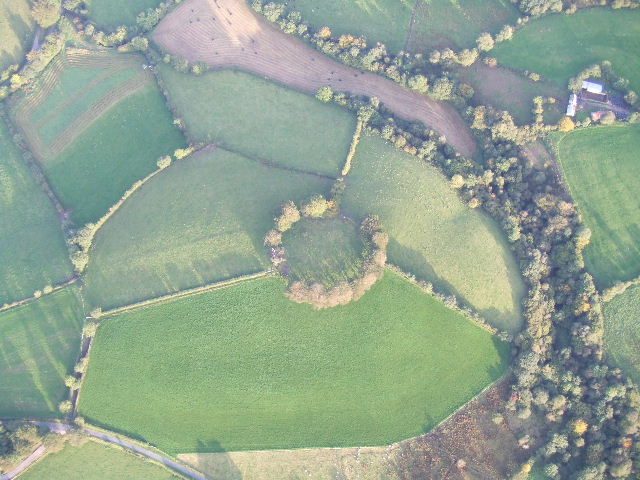 Fairy fort / earthen ringfort in MullyasterFairy fort / earthen ringfort · 1106 yd
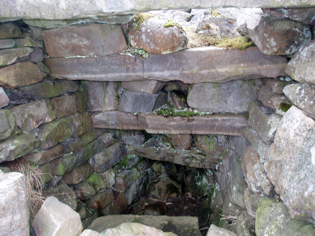 Outlined, Corn KilnEnclosure · 1733 yd
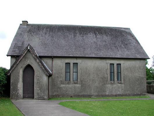 Newtown Gore Methodist Churchchurch/chapel · 1.2 mi
 Crane IslandIslet · 1.2 mi
 BatteryBawn · 1.2 mi
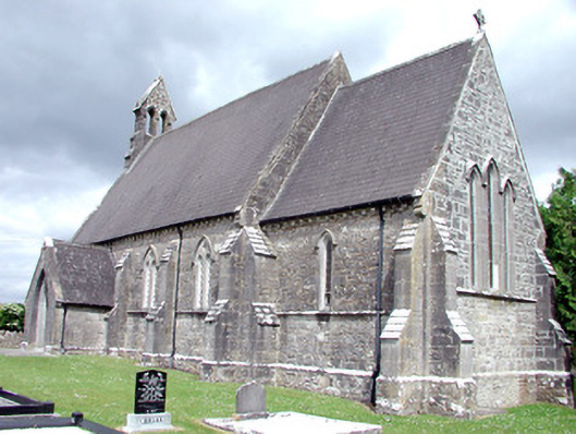 Saint Patrick's Church (Carrigallen)church/chapel · 1.2 mi
 Swan Island pet farmHeritage attraction · 1.2 mi
 Cherry IslandIslet · 1.4 mi
 Bawn in Cherry IslandBawn · 1.5 mi
 DrummuckerMountain / peak · 1.6 mi
 DerrynigginMountain / peak · 2.0 mi
 Black PoplarBlack Poplar · 2.2 mi