What is recorded here
Cloonalaghan holds a nineteen-metre earthen ring beside a damp stream, preserving a western bank tall enough to touch while the eastern edge melts into grass. The circular ground tilts slightly eastward and hides a faint curving rise among protruding stones, suggesting an inner chamber or forgotten structure within the shallow basin. A possible burnt mound sits twenty metres west, hinting that heat and transformation once belonged to this quiet pasture. The fort resists easy explanation, but its shape remains clear enough to walk around and imagine the lives that turned it into a home.
In lowlying damp pasture, located immediately to W of a stream/drain. Ground rises gradually to E of the stream.
This rath is not indicated on the 1838 OS 6-inch map, but is shown on the 1922 edition. It consists of a slightly raised circular area (19.4m E-W; 19.5m N-S) enclosed by an earthen bank. The bank is best preserved on the W half (Wth 4.4m; int. H 0.5m; ext. H 1.1m), but is degraded and less substantial at E (Wth 2.3m; int. H 0.2m; ext. H 0.5m) where it retains only a low internal lip. The interior slopes down slightly to E, and has an uneven surface, from which clusters of large and medium-sized stone protrude. In the N half of the interior is a slight rise (Wth c. 1m; H 0.1-0.2m) curving W-N-E. The arc (c. 8-10m E-W) is barely discernible and difficult to interpret.
Immediately outside the rath at W there is a band (Wth c. 7m) of thick, rushy vegetation, outside which is a broad, slightly raised undulation; it is unclear if these features are indicative of outer enclosing elements. Outside the bank at S is a berm (Wth c. 2m) of slightly sloping ground, bordered by a narrow gully on an E-W axis –probably the remains of a relatively modern drain.
There is a possible burnt mound (MA015-075----) 20m to W.
Compiled by: Jane O’Shaughnessy
Date of upload: 15 November 2018
The monument record does not grant public access. Check the route and ask the landowner before entering private land.
- What survives
- Recorded monument
Places near here
 IndicatedFairy fort / earthen ringfort · 351 yd
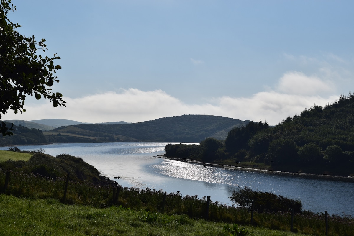 ToberaraHoly well · 1098 yd
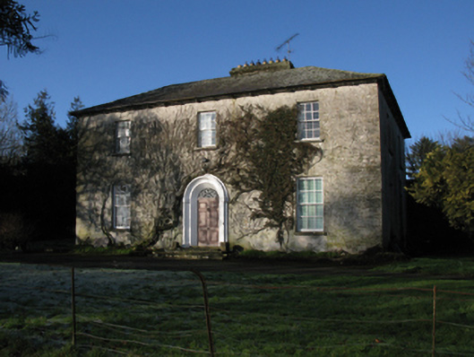 Carrowmore Housefarm house · 1585 yd
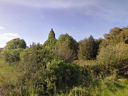 Lackan Church (Lackan)church/chapel · 1591 yd
 CastleCastle, unclassified · 1.3 mi
 TrabaunBeach / strand · 1.7 mi
 CastlenageehaCastle, unclassified · 1.7 mi
 French Landing 1798Memorial · 2.3 mi
 Rinnaun PointHeadland · 2.8 mi
 Green IslandIslet · 3.1 mi
 Battle of Killalabattle · 3.2 mi
 Lisheen Grave YardArchaeological place · 3.6 mi