What is recorded here
Not marked on the 1837 edition of the OS 6-inch map. This monument utilises a natural hillock with a pronounced S-facing slope. Large raised oval area (dims. 46.5m E-W; 43.5m N-S) defined from ESE-S-WSW by a scarp which merges with the natural slope of the hillock to give an overall height of 3.5m. From N-NE-E a roughly built field wall has been constructed at the upper edge of the scarp. From W-NW-NNW the scarp has been quarried away. No fosse. Original entrance not recognisable. Within the E quadrant is a roughly circular hollow (diam. c.5m) defined by a low rim of earth and stone.
Compiled by: Patrick F. O'Donovan
Date of upload: 19 January 2011
The monument record does not grant public access. Check the route and ask the landowner before entering private land.
- What survives
- Recorded monument
Places near here
 Enclosure in CloonakeemogeEnclosure · 500 yd
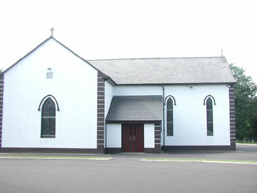 Catholic Church of Saint Peter and Saint Paulchurch/chapel · 604 yd
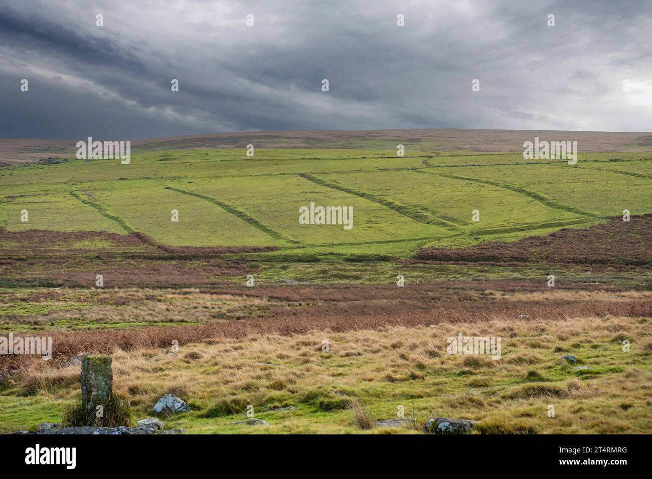 Field system in AltanelvickField system · 610 yd
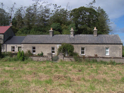 The Swallow Loftchurch/chapel · 813 yd
 European ashEuropean ash · 1238 yd
 Bawn in Longford DemesneBawn · 1475 yd
 Giant's GraveArchaeological place · 1723 yd
 Pigeonpark WoodForest · 1724 yd
 Bawn in Tanrego WestBawn · 1.6 mi
 Lahanacappul IslandIslet · 1.8 mi
 Ballinlig PointHeadland · 2.0 mi
 Portavaud PointHeadland · 2.2 mi