What is recorded here
Situated on top of a steep, rounded knoll, in pasture, with good views in all directions. Monument described as an oval-shaped area (approx. diam. 39m) enclosed by an inner bank, an intervening fosse and an outer bank with entrance gap at SE. The earth and stone bank is high and steep and is almost reduced to a scarp. It has been broken down by cattle in several places. There are vague traces of an intervening fosse from S-W-N. There is a low outer bank from S-W-N which has been reused as a field boundary from SW-W-N. A field boundary runs along the base of the outer bank from E-SE. The interior rises slightly from the perimeter towards the centre. The monument is largely inaccessible due to dense vegetation. Modern walls encroach on the site.
Compiled by Alison McQueen, Vera Rahilly and Caimin O’Brien.
Date of upload: 28 August 2019
The monument record does not grant public access. Check the route and ask the landowner before entering private land.
- What survives
- Recorded monument
Places near here
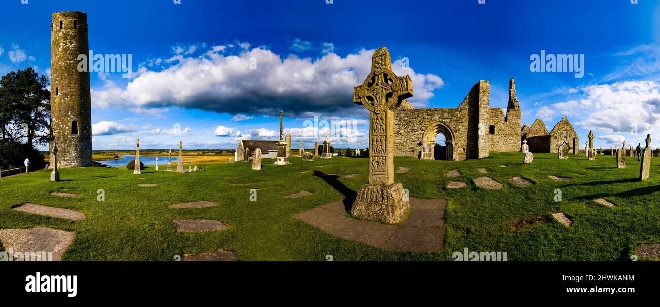 Partially hachuredFairy fort / earthen ringfort · 257 yd
 Partially outlinedEnclosure · 712 yd
 Stremmingstown CastleCastle · 912 yd
 Carn CastleCastle · 1000 yd
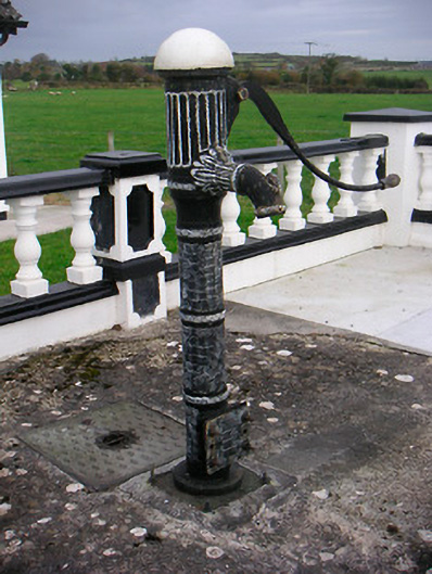 water pumpwater pump · 1406 yd
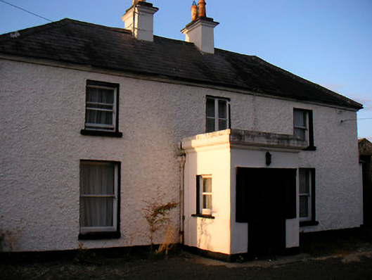 Killaroo Househouse · 1514 yd
 Sam's ParkForest · 1.9 mi
 Hill of UisneachMountain / peak · 2.0 mi
 European ashEuropean ash · 2.0 mi
 KnockastiaMountain / peak · 3.5 mi
 Charles BianconiMemorial · 8.3 mi
 The Bob Traynor GalleryGallery · 8.4 mi