What is recorded here
No visible entrance, no central hall, no hearth, no door. Only a shallow oval dish of grass on a drumlin, edged by a bank so thin a child could step over it. The absence of human marks is the shape itself: a place built by leaving out every part that belongs to people.
Situated on the SW summit of a NE-SW drumlin. This is an oval grass-covered area (dims c. 50m N-S; 33m E-W) defined by an earthen bank (at NNE: Wth of base 3.9m; int. H 0.4m ext. H 1.7m), which is best preserved (at S: Wth ova base 6.6m; int. H 1.3m; ext. H 2.1m) SE-SW where there is no visible fosse but the base of the scarp is skirted by a field bank. The defining bank has a hedge, and there is an outer fosse (at NNE: Wth of top 3.3m; Wth of base 1.1m; ext. D 0.45m) SW-NNE. There are many gaps in the perimeter but the most likely original entrance (Wth of base 1.6m) is at E.
The above description is derived from the published 'Archaeological Inventory of County Monaghan' (Dublin: Stationery Office, 1986). In certain instances the entries have been revised and updated in the light of recent research.
Revised by: Michael Moore
Date of revision: 8 May 2018
The monument record does not grant public access. Check the route and ask the landowner before entering private land.
- What survives
- Recorded monument
Places near here
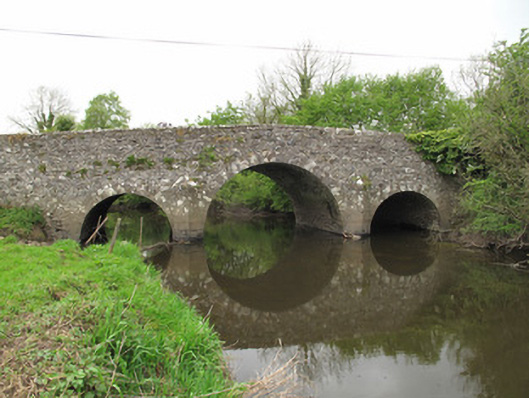 Scarvy Bridgebridge · 396 yd
 Standing stone in ScarvyStanding stone · 990 yd
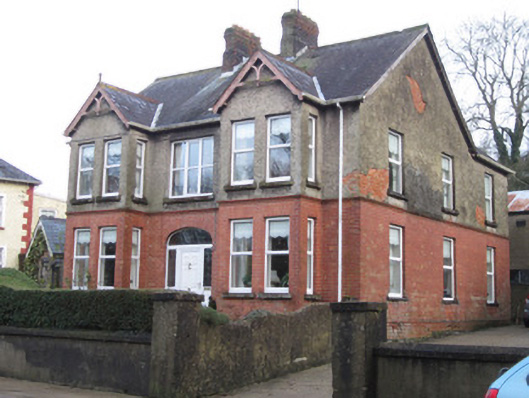 Sunnyside Househouse · 1257 yd
 KilderryBurial ground · 1451 yd
 Abbey RuinsHeritage attraction · 1535 yd
 The Cassandra Hand CentreMuseum · 1609 yd
 Bawn in CrossmoyleBawn · 1622 yd
 CastleCastle, motte and bailey · 1.0 mi
 European YewEuropean Yew · 1.1 mi
 Saint John's WellSpring · 1.5 mi
 Common LimeCommon Lime · 1.7 mi
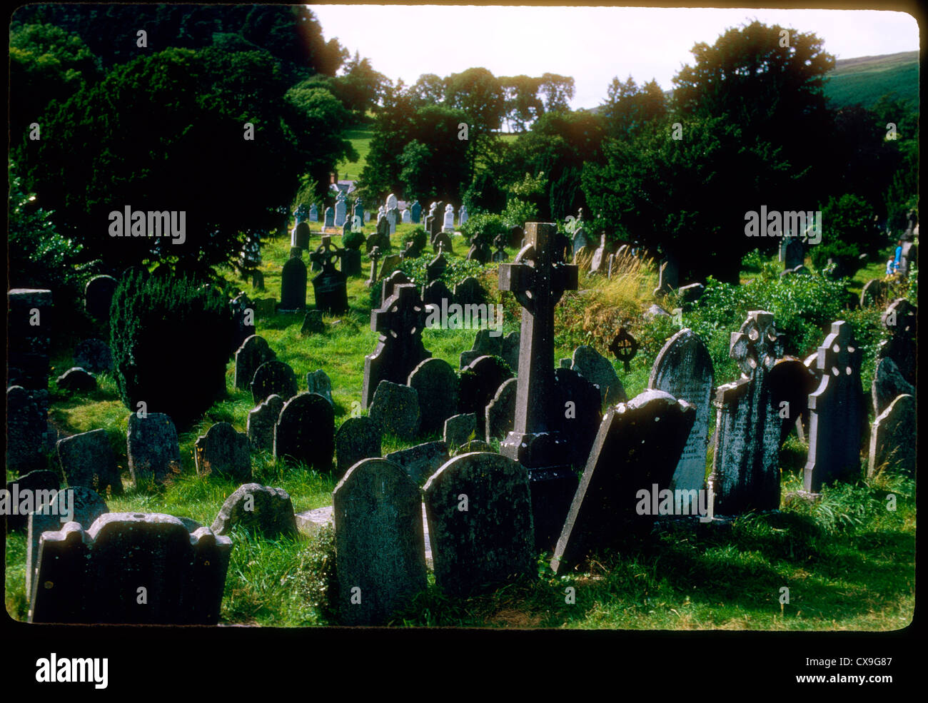 Clontivrin Grave YardArchaeological place · 1.9 mi