What is recorded here
Fairy fort / earthen ringfort in Clonmoyle West: In pasture. Circular area (diam. 27m) defined by single earthen bank (H 2.6m) with external fosse (D 1.5m). According to Hartnett (1939, 48), remains of outer bank were traceable, especially to W and SW, with substantial '20 foot section' surviving to ENE measuring '5 feet high and 6 feet wide'; 'there are entrances at the NE and SW'. Interior saucer-shaped; possible Man-made underground passage (8993) in E half.
In pasture. Circular area (diam. 27m) defined by single earthen bank (H 2.6m) with external fosse (D 1.5m). According to Hartnett (1939, 48), remains of outer bank were traceable, especially to W and SW, with substantial '20 foot section' surviving to ENE measuring '5 feet high and 6 feet wide'; 'there are entrances at the NE and SW'. Interior saucer-shaped; possible Man-made underground passage (8993) in E half.
The above description is derived from the published 'Archaeological Inventory of County Cork. Volume 3: Mid Cork' (Dublin: Stationery Office, 1997). In certain instances the entries have been revised and updated in the light of recent research.
Date of upload/revision: 14 January 2009
The monument record does not grant public access. Check the route and ask the landowner before entering private land.
- What survives
- Recorded monument
Places near here
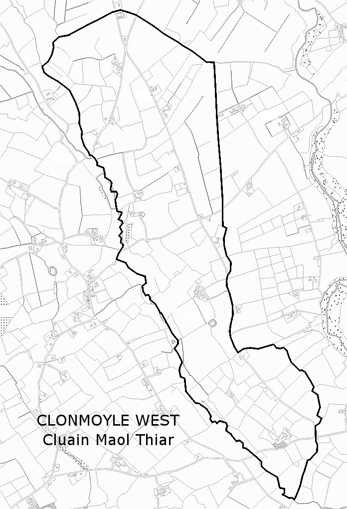 Man-made underground passage in Clonmoyle WestMan-made underground passage · 1 yd
 Dromatimore Househouse · 861 yd
 Fulacht fia in Clonmoyle EastFulacht fia · 910 yd
 Ballinadihy BridgeBridge · 1193 yd
 Oldcastle WoodWood · 1395 yd
 Carrignamuck Tower HouseCastle · 1.9 mi
 Mullinhassig WoodWood · 2.0 mi
 Mullinhassig WaterfallWaterfall · 2.0 mi
 Saint Bartholomew's WellSpring · 2.7 mi
 Old Mansion HoCastle, Anglo-Norman masonry castle · 3.5 mi
 Coachford Greenway (End)Visitor information · 3.7 mi
 Carrigadrohid Castle InfoVisitor information · 3.8 mi